
Botswana Destinations
Six regions that follow the road and air network rather than the district map — because routes, not borders, decide how a trip is assembled.
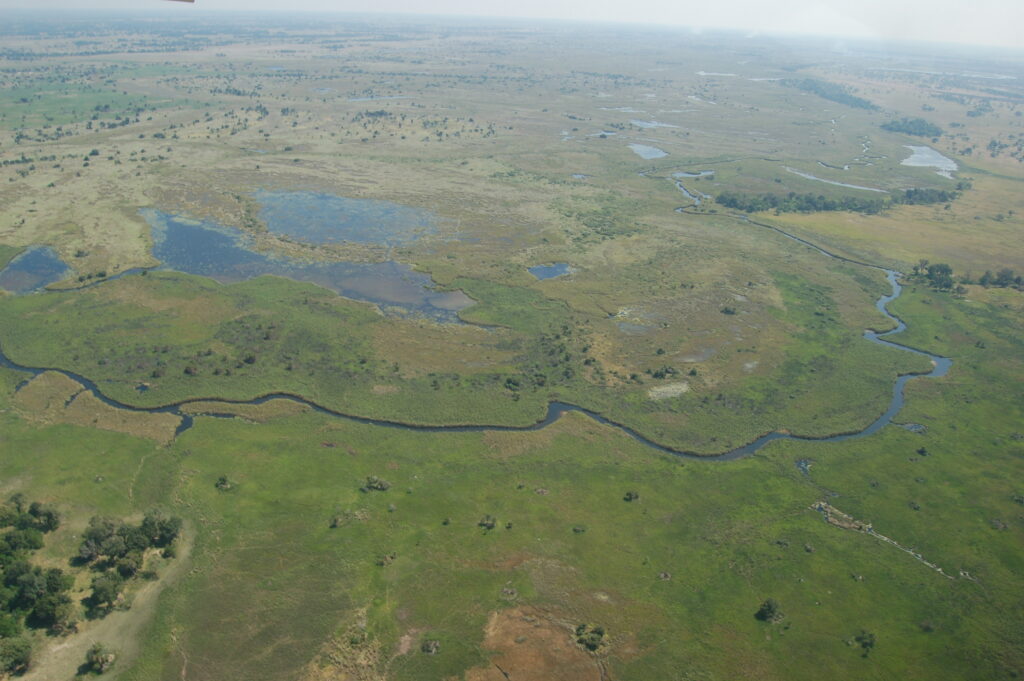
The Okavango DeltaPlan your tripAerial view of floodplain, channels and islands in the Okavango Delta, Botswana. Photo: Joachim Huber, CC BY-SA 2.0, via Wikimedia Commons.
Botswana is a big, thinly populated country where the interesting places are a long way apart, and the way you divide it up on a map determines how you plan. This index to Botswana destinations sets out the six regions we use, explains why they are ours rather than anyone else’s, and shows where towns and gateways end and protected areas begin.
Why our Botswana destinations map is our own editorial geography
Botswana Tourism Organisation publishes no official tourism regions. There is no national scheme of named zones for visitors to navigate by. BTO’s own Explore section sorts the country thematically instead, into three categories: Parks and Reserves, Heritage Sites, and Towns and Villages. That list of towns runs to eight entries and omits most of the settlements a traveller actually passes through — Nata, Rakops, Gumare, Shakawe, Palapye and others have no BTO destination page at all.
The administrative districts are no better as a visitor-facing structure. Chobe District is a reasonable match for what people mean by “Chobe”, and North-West District covers the Okavango sensibly enough, but Central District is enormous: it swallows the A1 eastern corridor, the Makgadikgadi and Boteti, and the Tuli Block, which are three unrelated trips. Kgalagadi Transfrontier Park is jointly managed with South Africa and belongs to no Botswana district in any useful sense. Districts are a metadata field, not a way to plan a holiday.
So we built our own. Our six regions follow the road and air network — the routes and gateways that actually govern how a trip is assembled — and we label them as our editorial geography, not an official one. If you see a Botswana site presenting “official regions”, treat that claim with caution.
The six regions
Okavango Delta and Maun
The inland delta and the town that serves it. Maun is Botswana’s tourism capital and the light-aircraft hub from which nearly every fly-in safari departs; it is also the road head for Moremi and the Makgadikgadi. The region takes in the Panhandle and the A35 north to Shakawe and the Tsodilo Hills. Understanding this region means understanding that most of the Delta is leased concession land reached only by air, while its eastern, dry-land edge is drivable. See Okavango Delta and Maun and Maun.
Chobe and Kasane
The far north, on the Chobe River. Kasane is small but positionally decisive — Zambia, Zimbabwe and Namibia are all within a short drive, and Victoria Falls is 80 km away by road. The region covers the Chobe riverfront, Savuti, Linyanti, the Nogatsaa pans and the Chobe Enclave community land west of the park. It is the most accessible of the great wildlife areas and the easiest place to start. See Chobe and Kasane.
Makgadikgadi and the salt pans
The salt-pan country either side of the A3 between Nata and Maun, including Ntwetwe and Sua pans, Nxai Pan, Baines’ Baobabs, the Boteti River and the Nata Bird Sanctuary. This is the region whose calendar runs backwards relative to Chobe: bare, blinding pan in the dry months, grassland full of zebra and wildebeest after rain. Quad biking, sleep-outs and habituated meerkats belong here. See Makgadikgadi and the Salt Pans.
The Kalahari
The sand country that covers most of Botswana, and in visitor terms the Central Kalahari Game Reserve, Khutse, the Kgalagadi Transfrontier Park and Mabuasehube, with Ghanzi as the western gateway and the Trans-Kalahari Highway running through it. Remote, demanding and self-sufficient travel: no fuel, water or supplies inside the reserves. Best after summer rain, which is the opposite of the northern pattern. See The Kalahari.
Eastern Botswana
The A1 corridor and the Limpopo frontier: Francistown, Palapye, Serowe, Selebi-Phikwe and Bobonong, plus the Khama Rhino Sanctuary and the Northern Tuli Game Reserve in the Tuli Block. Most safari travellers pass through this region rather than to it, but it holds Botswana’s most reliable rhino viewing and its most geologically dramatic private reserve. See Eastern Botswana.
Gaborone and the South-East
The capital and its surroundings — Mokolodi Nature Reserve, Lobatse, Kanye, Molepolole, Matsieng and Kolobeng — plus the main South African border crossings at Tlokweng and Pioneer Gate. Gaborone is the seat of government and the country’s principal international airport, but most Delta and Chobe itineraries bypass it entirely via Johannesburg. See Gaborone and the South-East.
Destinations or parks? How the split works
We keep two indexes because they answer two different questions.
- Destinations — where you sleep, land, refuel and cross borders. Towns, gateways, airports, regions and the routes between them live here.
- Parks and reserves — the protected areas themselves, with the rules that apply inside them: what a national park permits, what a concession permits, how entry and camping are booked, and who administers what.
So Kasane sits under Chobe and Kasane in destinations, while Chobe National Park has its own page under parks and reserves. Maun sits in destinations; Moremi Game Reserve does not. Where a region page and a park page overlap, the region page handles access and logistics and the park page handles regulation and ecology.
The towns and gateways written up so far are Maun, Kasane, Nata, Ghanzi and Gaborone. Each sits under its region above.
Plan the rest of your trip
- Parks and reserves — land tenure, what is permitted where, and the fee structure.
- Itineraries — how these regions combine into a workable trip.
- Travel planning — seasons, entry requirements, borders, money and connectivity.
- Self-drive — roads, distances and what driving Botswana demands.
- Safaris and activities, accommodation and wildlife and seasons.
Official sources
- Botswana Tourism — Explore, the thematic destination index, and Botswana at a glance
- Statistics Botswana — Population of Cities, Towns and Villages 2022
- Botswana Tourism — Maun, Kasane, Ghanzi, Francistown
- Botswana Tourism — ports of entry (contains at least one demonstrably outdated entry)
The six regions
Each one is a different kind of trip, a different calendar and, usually, a different vehicle.
 Okavango Delta & Maun
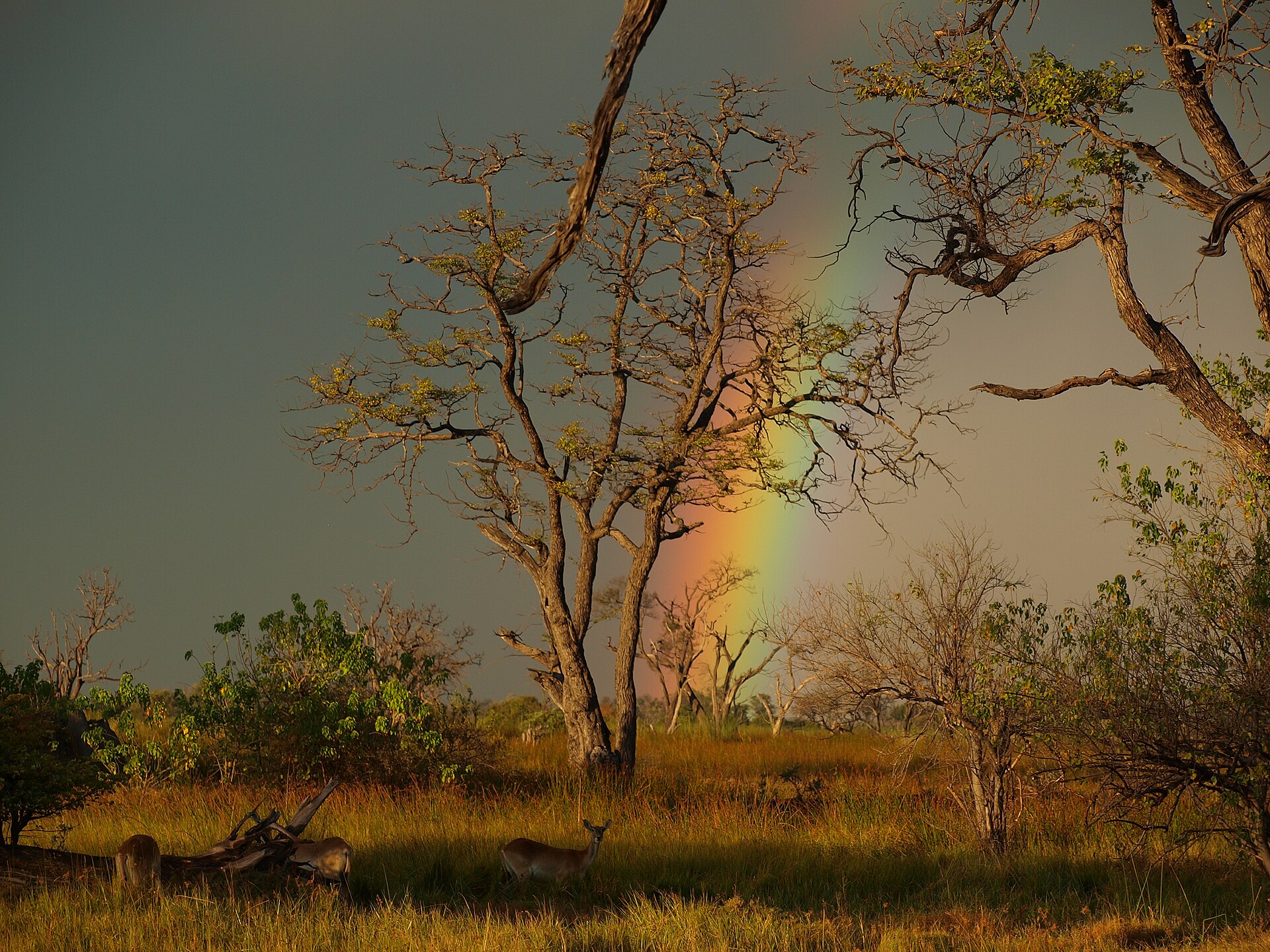
The inland delta and the town that serves it. Most of it is concession land reached by light aircraft.
Open →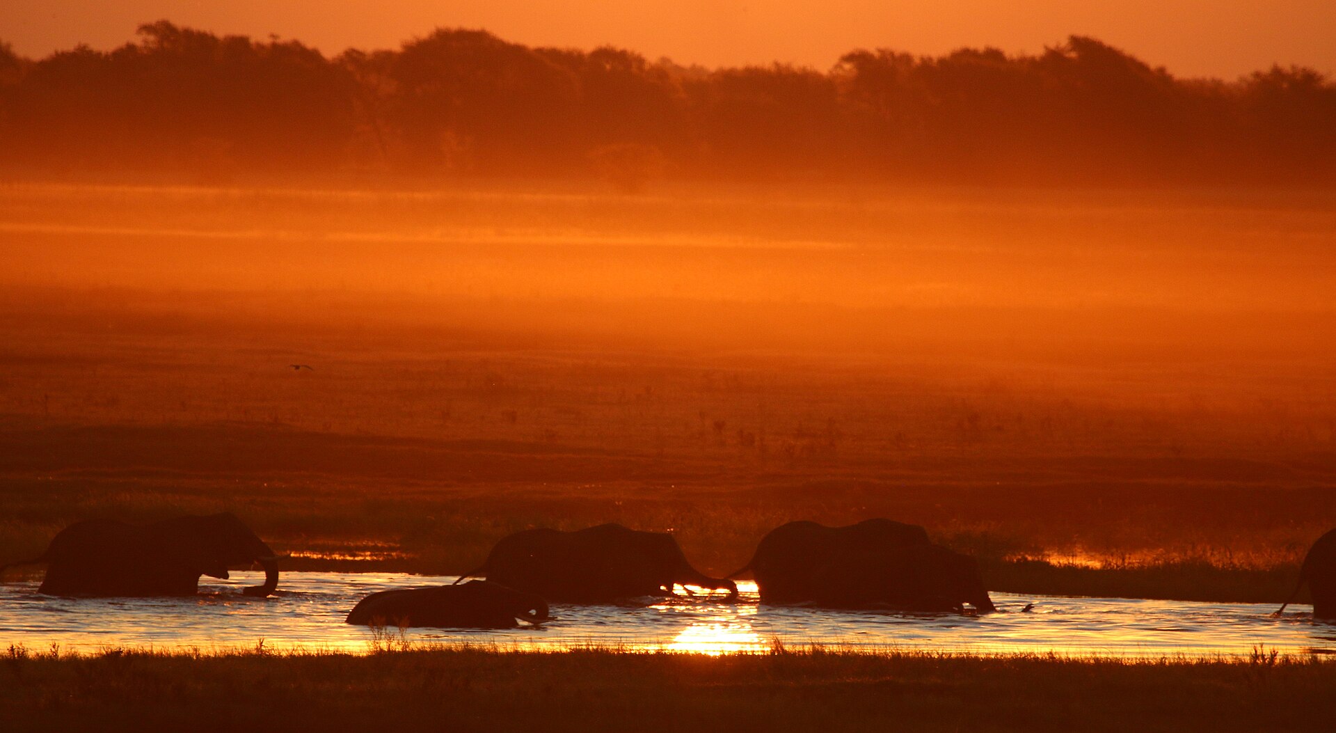 Chobe & Kasane
The far north on the Chobe River, and the most accessible of the great wildlife areas.
Open → Makgadikgadi & the Salt Pans
The pan country either side of the A3, whose calendar runs backwards relative to Chobe.
Open →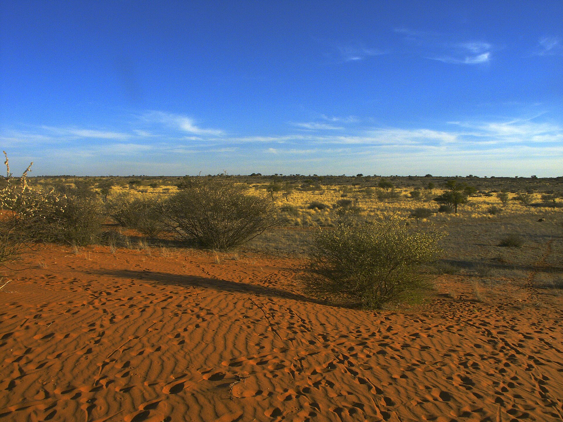 The Kalahari
Sand country covering most of the country. Demanding, self-sufficient travel.
Open →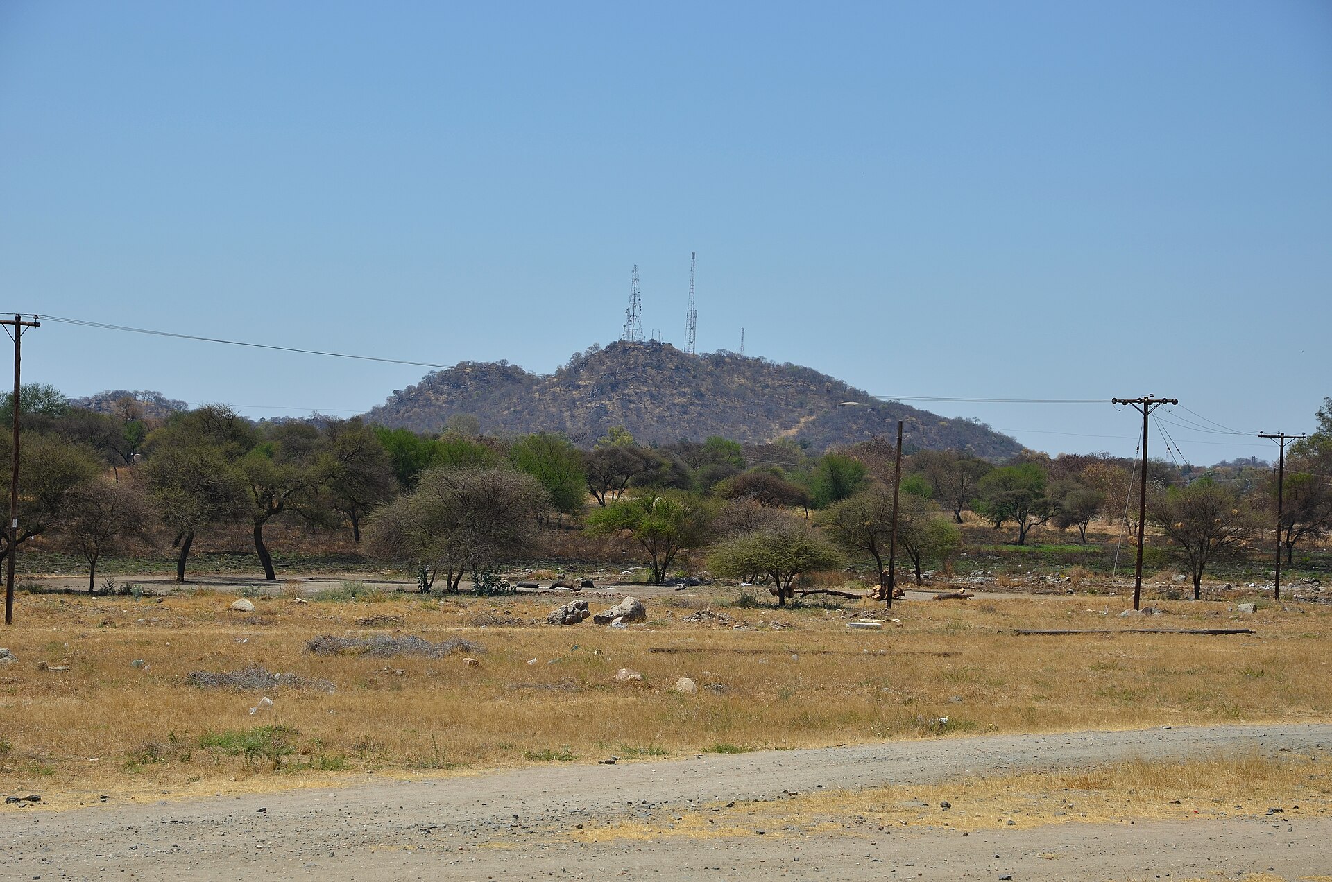 Eastern Botswana
The A1 corridor most safaris skip, and the Tuli Block.
Open →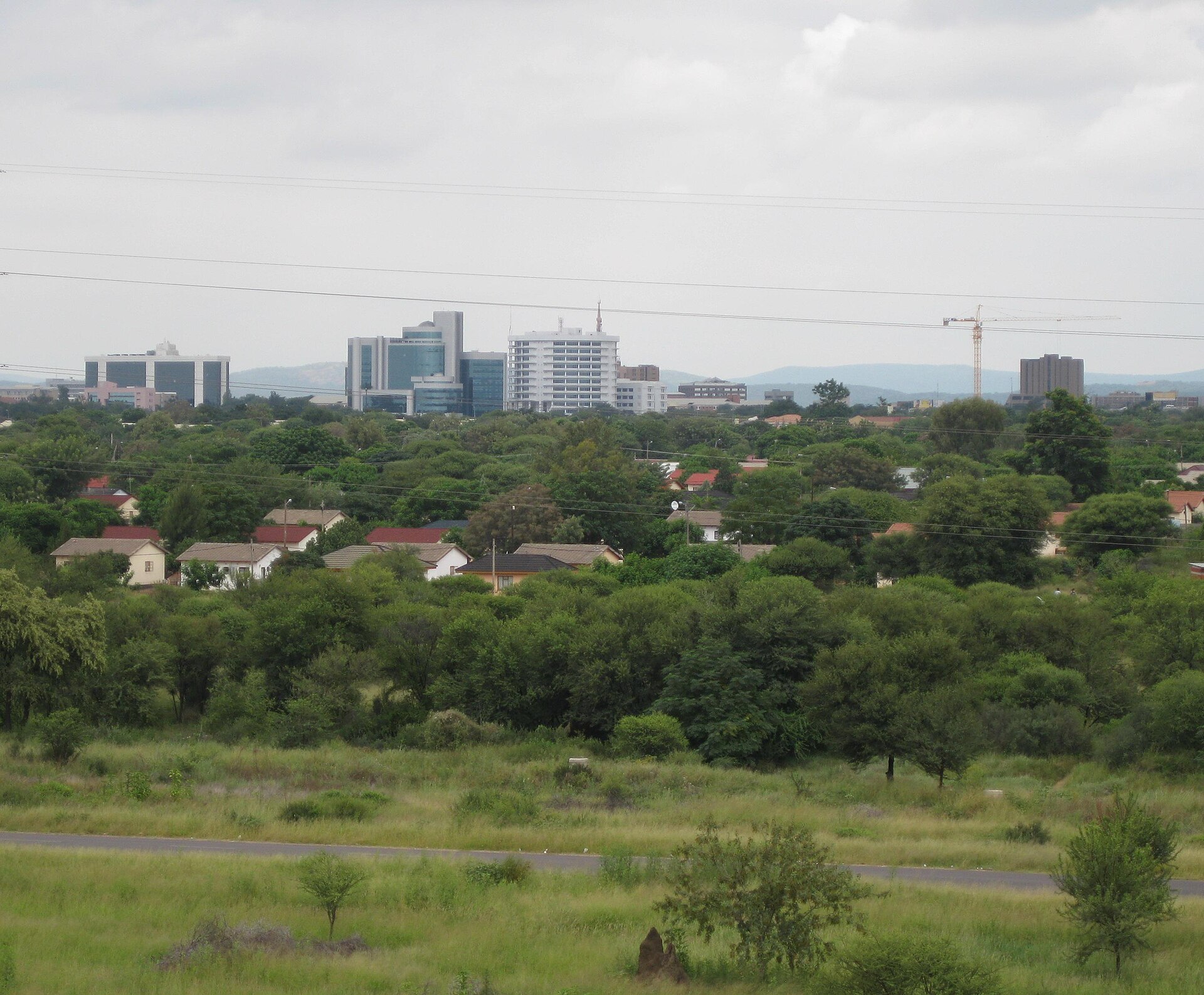 Gaborone & the South-East
The capital, and where most trips from Johannesburg begin.
Open →Start with a region, or start with the month.
If you already know roughly where you want to go, work outwards from the region. If the month is what you are stuck on, start with the seasons instead.
Plan your tripParks and reserves