
Eastern Botswana
The A1 corridor most safaris skip. It holds the country’s most reliable rhino viewing and its most dramatic private reserve, in the Tuli Block.
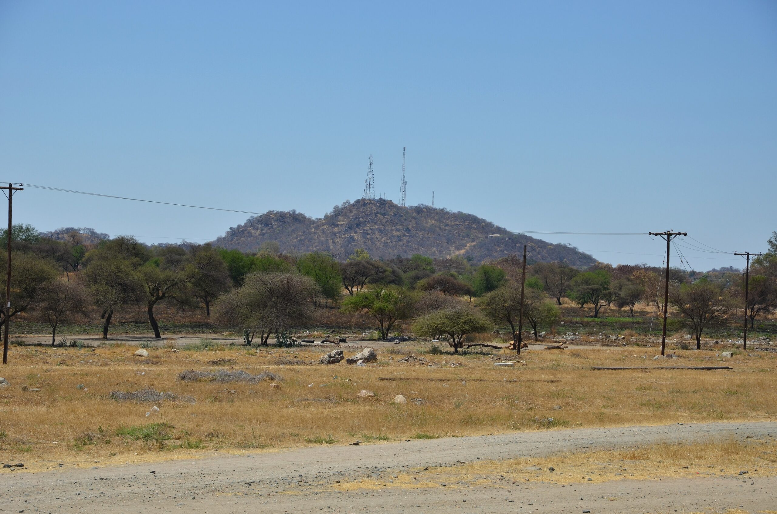
Parks and reservesItinerariesBush, a rocky hill and power lines on the edge of Francistown, eastern Botswana. Photo: Pavel Špindler, CC BY 3.0, via Wikimedia Commons.
Eastern Botswana is the populated strip the A1 runs through: the main north–south road, the towns and villages strung along it, and the private game country of the Tuli Block out towards the Limpopo. It is where most Batswana live and most road traffic moves — and the part of the country the great majority of safari itineraries never touch.
Why visit Eastern Botswana — and who it genuinely suits
Eastern Botswana is not the Okavango, and nothing here competes with Chobe or Moremi for density of game. The standard routing flies visitors into Johannesburg and on to Maun or Kasane, bypassing this side of the country entirely — a rational choice for a first, short trip. The region rewards a different traveller:
- Overland self-drivers from Gauteng or Zimbabwe, for whom the A1 is the way in and the way north.
- Anyone who wants to see rhino — which now means the community-run Khama Rhino Sanctuary, not the Delta.
- Travellers interested in Botswana’s history: the Khama dynasty, missionary and Iron Age sites, the mining towns.
- Guests bound for the Northern Tuli Game Reserve, which permits horseback and mountain-bike safaris that national parks do not.
If you have ten days and one shot at Botswana, spend them in the north. If you are driving through, have a fortnight, or are returning, this side is worth days rather than hours — see our itineraries.
The A1 eastern corridor
The A1 is the spine of Eastern Botswana and part of the Cairo–Cape Town Highway. It is tar for its whole length. Published segment distances are:
- Ramokgwebana (Zimbabwe border) to Francistown — 82 km
- Francistown to Palapye — 163 km, via Tonota and Serule
- Palapye to Mahalapye — 72 km
- Mahalapye to Gaborone — 200 km
- Gaborone to Lobatse — 70 km
- Lobatse to Ramatlabama (South African border) — 46 km
That is roughly 435 km Gaborone to Francistown and a little over 630 km border to border. The figures are summed from published road data rather than an official table, so treat them as good to within ten or twenty kilometres. The southern end of the corridor is covered on our Gaborone and the South-East hub.
Leg-by-leg timings, fuel discipline and where to break the drive are on our dedicated A1 corridor guide. North of Francistown the road becomes the A3 and then the A33 — see Francistown to Kasane.
Francistown: where you choose your Botswana
Francistown is the country’s second-largest city and calls itself the Capital of the North. It is named after the prospector Daniel Francis, who took licences in the Tati area in 1869; the gold-rush history is documented at the Supa Ngwao Museum. Our full write-up is on Francistown.
Its real significance is the fork. Here the A3 breaks away westwards — 180 km to Nata, then 300 km on to Maun, or north from Nata on the A33 towards Kasane and Chobe. Stay on the A1 and you are heading south towards Palapye, Gaborone and South Africa. Roughly 480 km separates Francistown from either Maun or Kasane, and nothing else here shapes an itinerary as sharply. The town has fuel, banks, workshops and an airport listed as a port of entry, though its air role is domestic.
Serowe, Palapye and the Khama heritage
Palapye and Old Palapye
Palapye, between Francistown and Mahalapye, is the standard refuelling and overnight stop on the drive, and the turn-off for Serowe. The ruins of Old Palapye, the settlement abandoned when the Bangwato moved to Serowe, are listed by Botswana Tourism among the country’s heritage sites.
Serowe and the Khama III Memorial Museum
Serowe is the birthplace of Sir Seretse Khama, Botswana’s founding president; the royal cemetery holds his grave and that of Ruth Williams Khama. The Khama III Memorial Museum, in a restored Victorian building, is the anchor attraction, with an 1880s London Missionary Society church, a statue of Sir Seretse Khama at the kgotla and the Boithselo craft project also in the village.
Khama Rhino Sanctuary
The Khama Rhino Sanctuary lies north of Serowe on Kalahari sandveld, covering roughly 8,585 hectares. The distance is disputed: Botswana Tourism’s Serowe page gives 40 km, its sanctuary page and the trust’s own material about 20 km. Check locally.
It is a community-based project, established in 1992 and run by the Khama Rhino Sanctuary Trust, staffed by residents of the surrounding villages and an IUCN member; it doubles as a conservation education centre for school groups nationwide.
Rhino need handling honestly. Botswana suffered severe poaching from 2018 onwards, and from October 2021 the government moved to capture surviving wild animals and relocate them to sanctuaries; how many free-roaming rhino remain is unresolved publicly, and published counts are dated, so we do not repeat them here. Khama Rhino Sanctuary is the honest recommendation for seeing rhino in Botswana, and no one should book a Delta safari expecting them — more in our wildlife section. The sanctuary emphasises ranger-guided drives and publishes no self-drive policy, so confirm directly. Chalets and camping are available inside.
The Northern Tuli Game Reserve and Mashatu
The Northern Tuli Game Reserve, in the Tuli Block, is the one part of Eastern Botswana that stands comparison with the north on wildlife. It covers about 71,000 hectares, is bounded by the Shashe, Motloutse and Limpopo rivers — which also form the borders with Zimbabwe and South Africa — and reaches some 180 km south towards Martin’s Drift. It forms part of the proposed Shashe/Limpopo (Greater Mapungubwe) transfrontier conservation area.
Crucially, it is privately owned: one of southern Africa’s largest private reserves rather than a state park, made up of three major concessions — Mashatu Game Reserve, Tuli Safari Lodge and Nitani Private Game Reserve. That ownership dictates how you visit. This is lodge-based country: you book a camp and the camp provides guides and vehicles. General self-drive game viewing is not the model, day-visitor rules vary by concession and should be confirmed with each, and a 4×4 is needed for features such as Solomon’s Wall.
The landscape is rocky and rugged: sandstone cliffs, mopane bushland, riverine woodland and marshland. Botswana Tourism cites 48 mammal species, more than 350 birds and an estimated 20,000 animals, with large eland herds alongside elephant, lion, leopard, cheetah and hyena. Because it is private land, activities go beyond the drive — horseback and mountain-bike safaris, ballooning and community visits — and community-based accommodation such as Molema Bush Camp sits alongside the commercial lodges. See parks and reserves for how private reserves differ from state parks.
Pont Drift — the crossing to plan around
Pont Drift, the Tuli border post with South Africa, is the highest-risk crossing in the country for itinerary planning. It is a drift — a ford across the Limpopo — and vehicles cross the riverbed only when the water is low. When the Limpopo is in flood the crossing is impassable to vehicles, and an open steel cage cable car carries pedestrians across for a fee, with lodges collecting guests on the Botswana side.
Treat that as a real possibility roughly December to April and confirm arrangements with your lodge. Its published hours are short, as are those at nearby Platjan and Parr’s Halt; Martin’s Drift (Groblersbrug) is the main crossing for through traffic. Botswana’s published border hours are unreliable in places, so verify before travelling — see travel planning.
Tswapong Hills and Toutswemogala — tentative list, not World Heritage
The Tswapong Hills Cultural Landscape (added 2010) and Toutswemogala Hill Iron Age Settlement (added 1999) both sit on Botswana’s UNESCO Tentative List. Travel copy routinely gets this wrong, so plainly: tentative-list status is not World Heritage status. It records a state’s intention to nominate a site in future and carries no protection or management obligation. Botswana has exactly two inscribed World Heritage Sites, Tsodilo and the Okavango Delta, and both are in the north-west. Visit the Tswapong gorges and Toutswemogala for what they are: a fine escarpment landscape and a major Iron Age settlement mound.
Selebi-Phikwe and the eastern towns
Selebi-Phikwe was built around the BCL copper-nickel mine, which closed in 2016. It remains the largest service town in the far east and an approach towards Bobonong and the Tuli region. It is not a tourism destination and there is no point pretending otherwise: treat it as somewhere to refuel, resupply and sleep.
Access, driving and self-drive context
This is the least demanding driving in Botswana. The A1 is tar throughout, fuel is reliable in Francistown, Palapye, Serowe, Mahalapye and Lobatse, and an ordinary car handles the corridor. The limit is 120 km/h on tar and 60 km/h in the many villages the road passes through, and mobile coverage follows the towns and the highway rather than blanketing the country. A 4×4 becomes necessary only off the corridor. Our self-drive guide covers paperwork, borders and Botswana Tourism’s remote-travel advice on fuel, water and spares.
Accommodation context
Almost all of it is guesthouses, bed and breakfasts and town hotels — this is transit and business accommodation, not safari accommodation.
Town accommodation is geared to business, government and transit travel rather than safari guests. The genuine destinations are few: chalets and camping inside Khama Rhino Sanctuary, and the Tuli lodges, all-inclusive and booked as a package. We publish no rates or availability. Browse by town: accommodation in Francistown, Palapye at the A1 junction, Serowe for the rhino sanctuary, Mahalapye halfway up the A1, Selebi-Phikwe on the eastern spur, Bobonong for the Tuli Block, or everything in Eastern Botswana.
Best time to visit
Botswana’s dry season runs roughly May to August, the wet season November to March, with April and October transitional. Along the corridor, season matters less for wildlife than for driving: summer brings afternoon thunderstorms, heat and the risk of the Limpopo rising against Pont Drift; winter brings cold mornings, easy driving and short daylight against fixed border hours. Tuli follows the usual dry-season pattern, animals concentrating on water from about June to October. Khama Rhino Sanctuary works year-round.
Plan the rest of your trip
- Destinations — the other regions, and where this corridor leads.
- Parks and reserves — state, private and community areas explained.
- Itineraries — where an eastern leg earns its place.
- Travel planning — entry rules, money, park fees and seasons.
Where to stay in eastern Botswana
The Tuli lodges in the far east, the A1 route hotels, and Khama Rhino Sanctuary at Serowe.
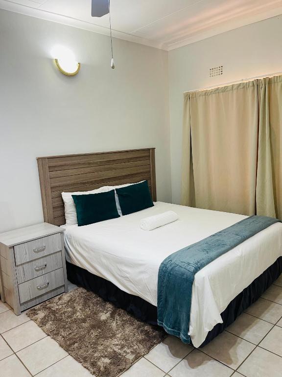
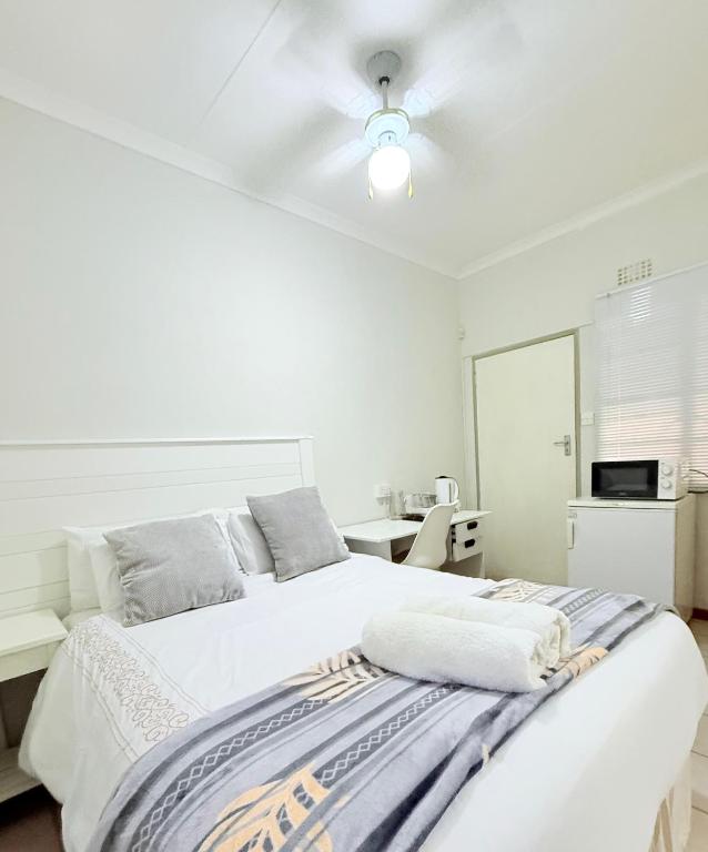
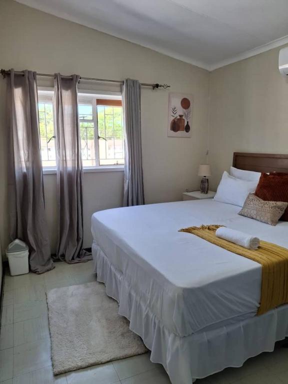

View all 104 Eastern Botswana propertiesAll eastern Botswana accommodation
Every card opens our own property page first. We publish no rates, no availability and no ratings of our own.
Sources and references
- Botswana Tourism Organisation — Francistown
- Botswana Tourism Organisation — Serowe
- Botswana Tourism Organisation — Northern Tuli Game Reserve
- Khama Rhino Sanctuary Trust
- Botswana Tourism Organisation — Ports of Entry
- UNESCO World Heritage Centre — Botswana (inscribed and tentative sites)
- Government of Botswana — national park and campsite bookings
- Statistics Botswana — Population of Cities, Towns and Villages 2022
Plan the rest of your trip
Eastern Botswana is the country you drive through on the way to somewhere else — which is exactly why it is quiet.
The four types of protected area, and which rules apply where.
Open →ItinerariesHow the eastern corridor fits into a longer route.
Open →Gaborone & the South-EastThe capital region at the southern end of the same corridor.
Open →The road most trips only pass through.
If you are driving up from South Africa, this is the first Botswana you meet.
All destinationsPlan your tripView all accommodation in Eastern Botswana — every property we have published there, each with our own write-up before any booking route.