
Driving the A3 and A33: Francistown to Kasane
About 480 kilometres, two road numbers, one fuel decision that matters and a long northern stretch where the animals genuinely do use the road.
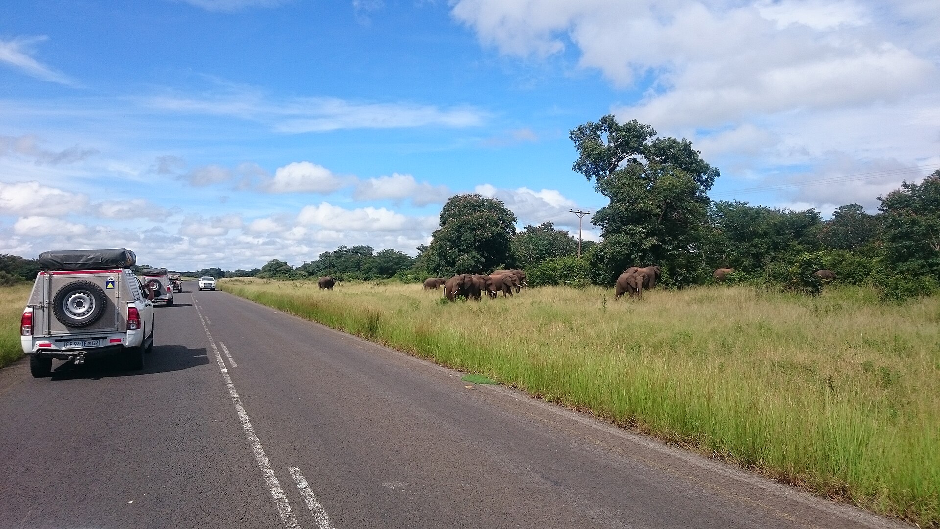
Kasane accommodationThe A1 corridorElephants crossing by the roadside on the Kasane–Nata road. Photo: Pdrousseau81, CC BY-SA 4.0, via Wikimedia Commons.
Two roads, not one
People talk about “the A3 to Kasane”. That is not quite what it is, and the distinction matters when you are reading a map or a road sign.
The A3 starts in Francistown at a junction with the A1 and runs northwest for about 180 kilometres to Nata. At Nata it meets the A33. The A3 itself then turns west and carries on roughly 300 kilometres through Zoroga and Gweta, threading between Nxai Pan National Park and Makgadikgadi Pans National Park, to Maun. The A3 is 816 kilometres long in total and eventually ends near Ghanzi on the Trans-Kalahari route.
To reach Kasane you leave the A3 at Nata and take the A33 north. That road runs about 300 kilometres from Nata to Kazungula, following the Zimbabwean border through Matlamanyane, Pandamatenga and Lesoma. Its full length of 363 kilometres includes a further 65-kilometre section west of Kasane that runs through the northern part of Chobe National Park to the Ngoma Bridge border with Namibia.
The legs, and what each one demands
Starting or finishing this drive in Francistown? See accommodation in Francistown, the largest bed stock on the eastern side of the country.
- Francistown to Nata — about 180 km. Straightforward tar, thinly settled, roughly two hours.
- Nata to Kasane — about 300 km. The demanding leg. Very few settlements, long empty runs, and the highest chance on any tarred road in Botswana of meeting large game.
- Nata to Maun — about 300 km if you are heading for the Okavango instead. Same fuel logic, different destination.
Francistown to Kasane is therefore around 480 kilometres. At the national limit of 120 km/h that is four hours of arithmetic; in practice, with village limits of 60 km/h, a border-region checkpoint or two and the very real need to slow for animals, allow six. There is no realistic way to do Gaborone to Kasane in one comfortable day, which is the single most useful thing this page can tell you.
Nata: the fuel and bed decision
Nata is where three routes meet — south to Francistown, west to Maun, north to Kasane — and it is the last place with a reliable cluster of accommodation before either of the long northern or western legs. That makes it far more important than its size suggests. If you arrive at Nata after mid-afternoon, the right answer is almost always to stop there rather than push on.
It has more than a fuel pump to justify the night. The Nata Bird Sanctuary, founded in 1988 and open for operations since 1993, covers 230 square kilometres at the mouth of the Nata River delta on the northeastern edge of Sowa Pan, about fifteen kilometres from the village. It is run as a community trust with members drawn from the four villages of Nata, Sepako, Maposa and Manxotae. Around 165 bird species are recorded there, and in a good wet season the pan draws lesser and greater flamingos in numbers reported at a quarter of a million, along with great white and pink-backed pelicans. UNESCO has described it as one of the largest flamingo breeding sites in the world. In a dry year the pan is a white glare and the birds are elsewhere entirely — this is not a guaranteed sight, and anyone who tells you it is has not been in October.
Where to stay in Nata
The whole Nata inventory we have checked, at the junction of the Francistown, Maun and Kasane roads.
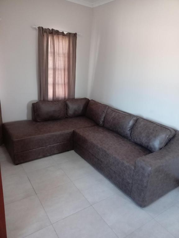
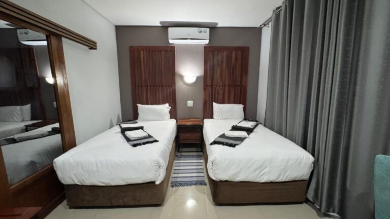
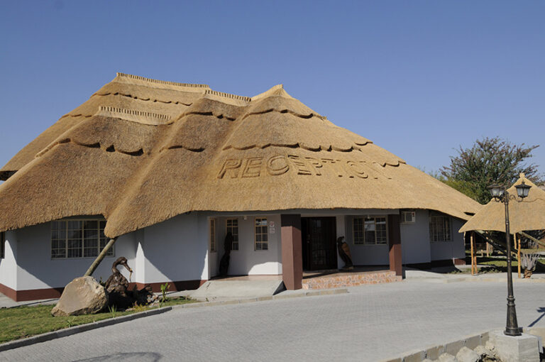
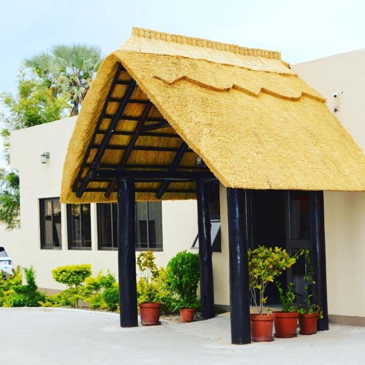
Every card opens our own property page first. We publish no rates, no availability and no ratings of our own.
Our full Nata destination guide covers the sanctuary, Sowa Pan and the seasons in more detail.
The Nata to Kasane leg
This is the stretch that gets talked about, and it is often called the Elephant Highway. The road runs up the eastern flank of the Chobe ecosystem, and elephants moving between Chobe, the Zimbabwean side and the Pandamatenga farms cross it. The photograph at the top of this page was taken by the roadside on this road. Botswana Tourism’s standing advice to self-drivers — watch for wildlife and domestic animals on the roads — is at its most literal here.
What that means in practice: do not drive this leg after dark, at any speed, for any reason. Elephants are unlit, enormous and the same colour as the road surface at dusk. Keep well below the limit through the last hour of daylight. Give any animal standing on the verge the whole width of the road and time to decide.
The one substantial settlement on the way is Pandamatenga, which is the centre of Botswana’s commercial arable farming — roughly 40,000 hectares under crops such as sweet sorghum, cowpeas and sunflower. It is a working farming village rather than a tourist stop, but it breaks up an otherwise empty run and it is the reason the road carries agricultural traffic as well as tourists.
Arriving in Kasane
Kasane is the gateway to Chobe National Park and the meeting point of four countries’ borders at Kazungula, where the bridge now carries traffic into Zambia and the Victoria Falls road heads east into Zimbabwe. It has an airport, a full range of accommodation and the densest concentration of activity operators in northern Botswana.
Where to stay in Kasane
Everything we have checked in Kasane itself, at the end of the corridor and the gate of the Chobe.
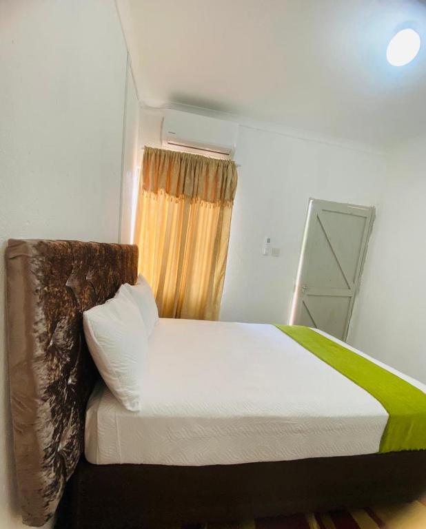

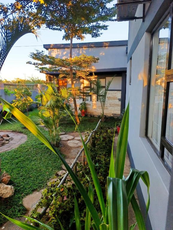
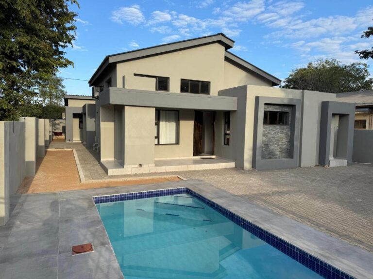
Every card opens our own property page first. We publish no rates, no availability and no ratings of our own.
For what to do once you are there, read the Kasane guide and Chobe National Park.
Coming from Maun rather than Francistown? This is the second half of that drive. The whole journey, and the 4×4 alternative through Moremi and Savuti, is set out in Maun to Kasane.
Practical notes for the northern corridor
- Fuel — fill in Francistown, fill again in Nata. Between Nata and Kasane the options are few and not to be relied on. Botswana Tourism advises self-drive travellers to carry long-range fuel capacity as a matter of course.
- Timing — leave Francistown early enough that the Nata to Kasane leg finishes in daylight, or split the journey at Nata.
- Animals — elephants north of Nata, cattle and donkeys everywhere else. Both are worse at dusk.
- Speed — 120 km/h on the open tar, 60 km/h through villages, 40 km/h inside Chobe. Drive on the left.
- Borders — Kazungula for Zambia and Zimbabwe, Ngoma Bridge for Namibia. Vehicle paperwork is checked properly at all of them.
- Water and spares — at least one spare wheel and basic parts, and water in the vehicle rather than in the boot of your plans.
Plan the rest of your trip
- The A1 corridor — Gaborone to Francistown, the first half of the drive north.
- Self-drive Botswana — vehicle, season and self-sufficiency rules.
- Chobe and Kasane and Makgadikgadi and the salt pans.
- Accommodation by location — every town archive in one place.
Sources and references
- Botswana Tourism — self-drive and camping advice
- Botswana Tourism — Chobe National Park
- Botswana Unified Revenue Service — vehicle clearance at Kazungula and Ngoma
Along the corridor
The two places worth a bed on this route, and the park at the end of it.
The junction village, the bird sanctuary and the last reliable stop before the long legs.
Open →KasaneThe Chobe gateway and the four-country border at Kazungula.
Open →Chobe National ParkEntry, camping and what the corridor delivers you to.
Open →Split this drive. Do not fight it.
Francistown to Kasane in one push is legal, possible and a bad idea. Nata exists for exactly this reason.
Nata accommodationKasane accommodation