
Driving the A1: Gaborone to Francistown
Botswana’s spine. Roughly 435 kilometres of tar, four towns worth stopping in, and the leg most first-time visitors underestimate because it looks like a straight line on the map.
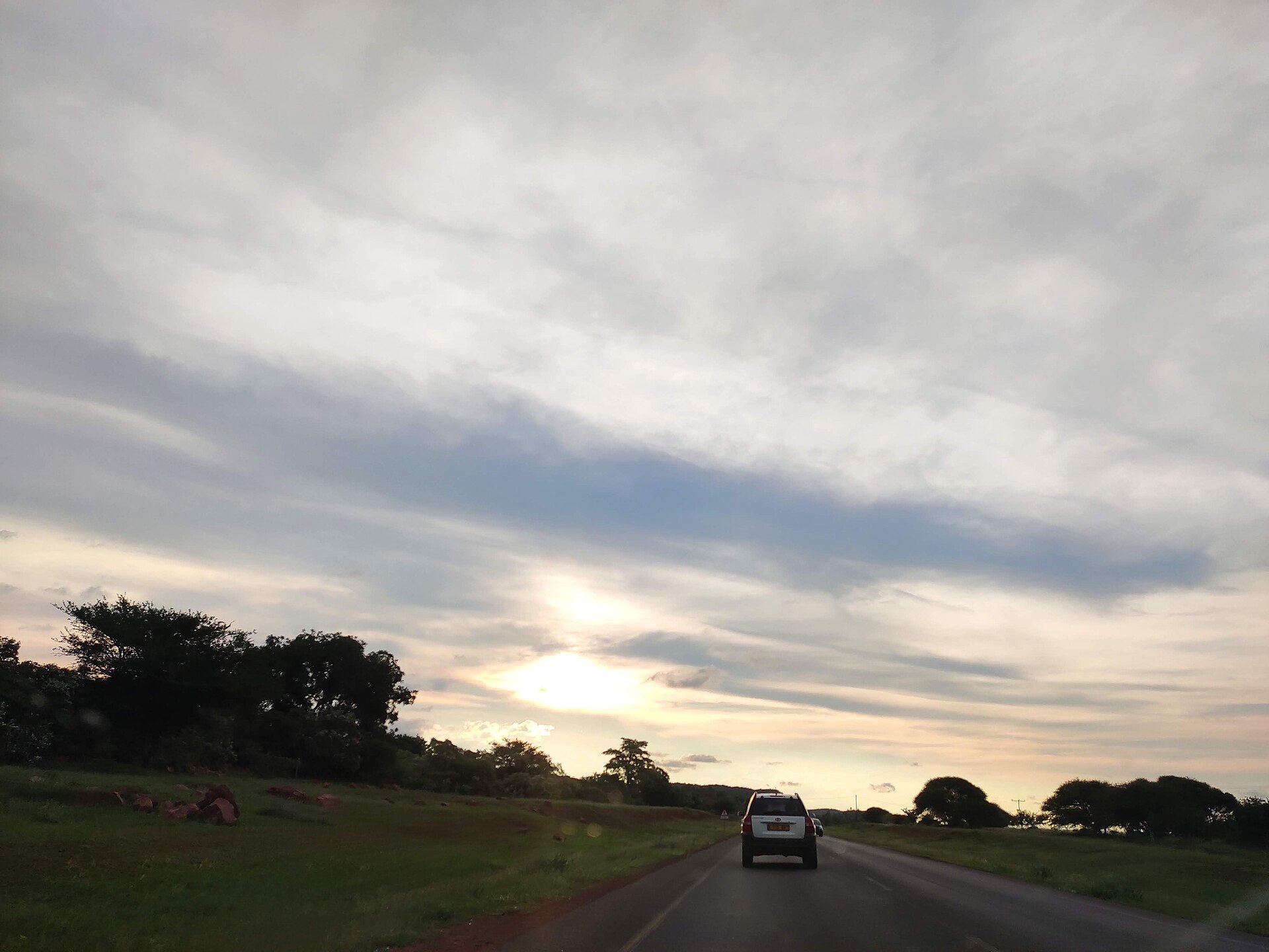
Eastern Botswana accommodationSelf-drive BotswanaThe A1 in Botswana. Photo: Shoodho, CC BY-SA 4.0, via Wikimedia Commons.
What the A1 actually is
The A1 is a 638-kilometre national road running the length of eastern Botswana, from the Ramatlabama border post with South Africa — where it continues as the N18 — north through Lobatse, Gaborone, Mahalapye, Palapye and Francistown to Ramokgwebana on the Zimbabwean border. It forms part of Trans-African Highway 4, the Cairo–Cape Town route, which is why so much of what you meet on it is freight rather than tourism.
The Gaborone–Francistown section is the part almost every visitor drives at some point: it is the approach from Johannesburg and Pretoria, the run north to the Chobe and Maun turn-offs, and the only tarred link between Botswana’s two largest cities. It is also the stretch where people most often plan badly, because on a map it is one line with nothing obvious in the way.
The distances, and how long they really take
- Gaborone to Mahalapye — about 200 km
- Mahalapye to Palapye — about 72 km
- Palapye to Francistown — about 163 km
- Gaborone to Francistown, total — about 435 km by road
Published figures for Gaborone to Francistown range from roughly 400 to 440 kilometres depending on where each source starts and ends the measurement. The segment distances above are the useful ones, because they tell you where the fuel and the beds are.
Botswana’s national speed limit on tarred roads is 120 km/h, dropping to 60 km/h through towns and villages, and driving is on the left. The arithmetic at 120 says three and a half hours. Do not plan on it. The A1 threads through a long series of settlements that each pull you back to 60, it carries heavy cross-border truck traffic that is slow on the rises, and Botswana Tourism’s own advice to drivers is to watch for wildlife and domestic animals on the roads — on this corridor that means cattle, goats and donkeys, which are unfenced along much of the route. Five to six hours is a realistic door-to-door figure, and arriving before dark should be treated as a hard rule rather than a preference.
Mahalapye — the halfway break
Beds at each stop on this corridor: Mahalapye, Palapye, Serowe off the junction, and Francistown at the top.
Mahalapye sits almost exactly on the Tropic of Capricorn, which is marked by a monument in the town, and it is the obvious place to stop if you left Gaborone in the afternoon. It is a working Central District town of roughly forty thousand people rather than a tourist stop: bus station, railway station, a market, a shopping mall, fast food and — the detail that matters at the end of a long day — filling stations, some of which run around the clock. The town sits on the edge of the Kalahari and its temperature record spans from below freezing to the low forties, so what you need from a room in July is not what you need in January.
Where to stay in Mahalapye
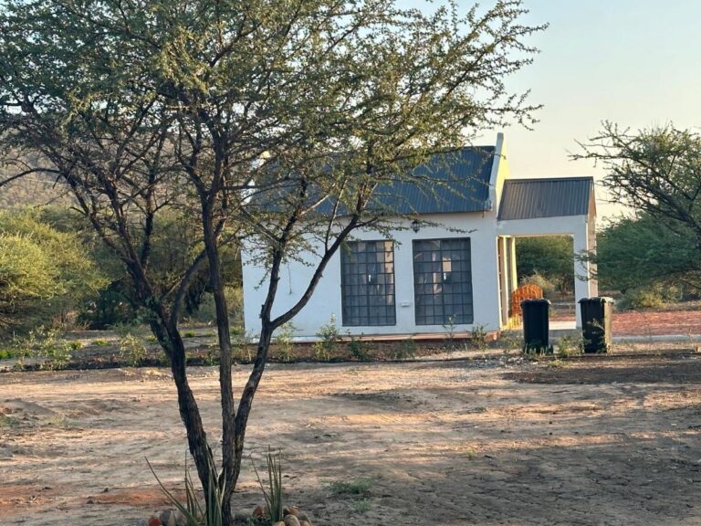
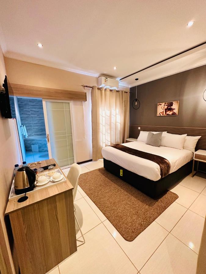
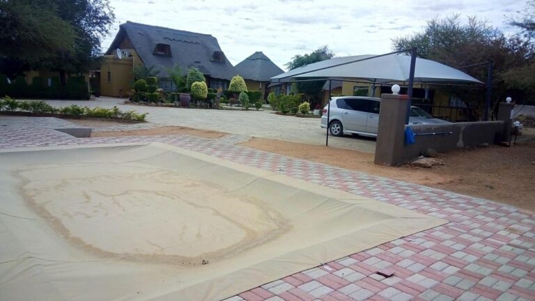
Guesthouses and small hotels on and around the A1. Every card opens our own property page first.
View all 5 Mahalapye properties
Every card opens our own property page first. We publish no rates, no availability and no ratings of our own.
Palapye — the junction town
Palapye is the fastest-growing town on this corridor and the one with the most going on. The 2022 census recorded 52,398 residents, up from 37,256 in 2011. It is where the A1 meets the A14, the road west to Serowe and the Khama Rhino Sanctuary, so it functions as a decision point rather than just a fuel stop.
Two things drive the growth. Morupule colliery and its power stations sit just outside town and are Botswana’s principal domestic source of electricity, with Morupule A rated at 132 MW and Morupule B at 600 MW. And the Botswana International University of Science and Technology opened its campus here in 2012 on a 2,500-hectare site against the Tswapong Hills. The practical consequence for a traveller is a town with more mid-range beds, more restaurants and more late-opening fuel than its size on a map suggests.
The history is older than either. The name comes from Phalatswe, “the place of impalas”. Old Palapye, a few kilometres from the modern centre, was the Bangwato capital under Khama III until 1902, and the ruins of the 1892 church still stand there.
Where to stay in Palapye
The largest overnight inventory on the middle section of the A1.
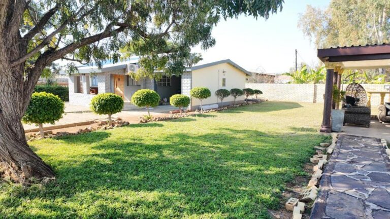
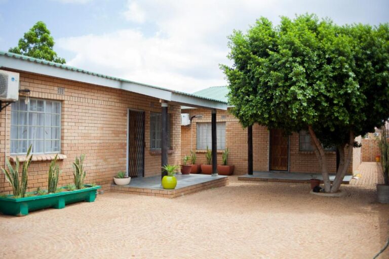
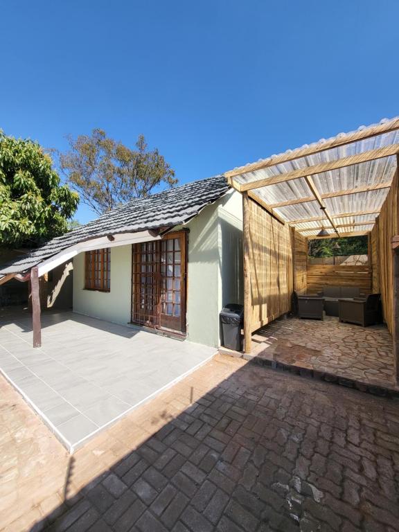
View all 31 Palapye properties
Every card opens our own property page first. We publish no rates, no availability and no ratings of our own.
Francistown — where the corridor forks
Francistown is Botswana’s second city, with 103,417 residents recorded in the 2022 census and about 147,000 in the wider agglomeration. It exists because of gold: Karl Mauch publicised the Tati goldfields in 1867, setting off southern Africa’s first gold rush, and the settlement was founded in 1897 near the Monarch mine and named after the English prospector Daniel Francis. It lies about 90 kilometres from the Zimbabwean border and has its own international airport and a rail link running south to Gaborone.
For anyone driving, Francistown matters because it is the fork. This is where the A1 continues north to the Zimbabwe border and the A3 heads northwest towards Nata — and from Nata, either west to Maun and the Okavango or north on the A33 to Kasane and the Chobe. If your trip is heading for the parks, Francistown is the last large city you will see for a long time, and the sensible place to do a proper shop, a tyre check and a full tank.
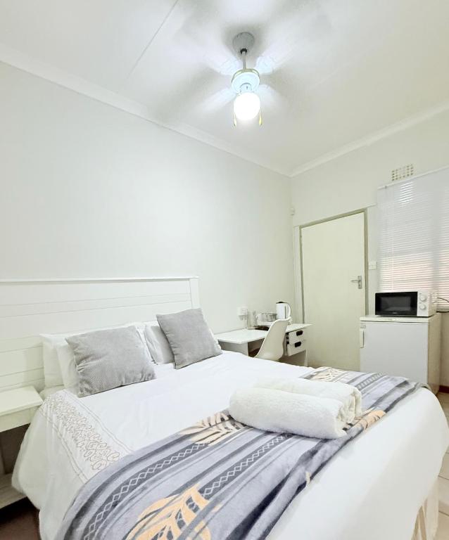
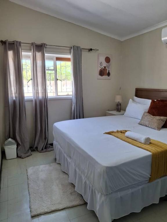
Where to stay in Francistown
The largest accommodation base in eastern Botswana, and the last full-service city before the northern parks.
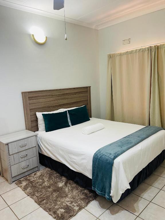
View all 34 Francistown properties
Every card opens our own property page first. We publish no rates, no availability and no ratings of our own.
Starting or finishing in Gaborone
Most people join the A1 in Gaborone, either flying into Sir Seretse Khama International or driving up from the Tlokweng or Ramotswa border posts. If you are arriving on an afternoon flight, do not try to reach Francistown the same day; take the first night in the capital and start the corridor in the morning. Our accommodation in Gaborone archive covers the city itself; the wider South-East archive adds Tlokweng, Mogoditshane and the villages if you would rather be outside the centre.
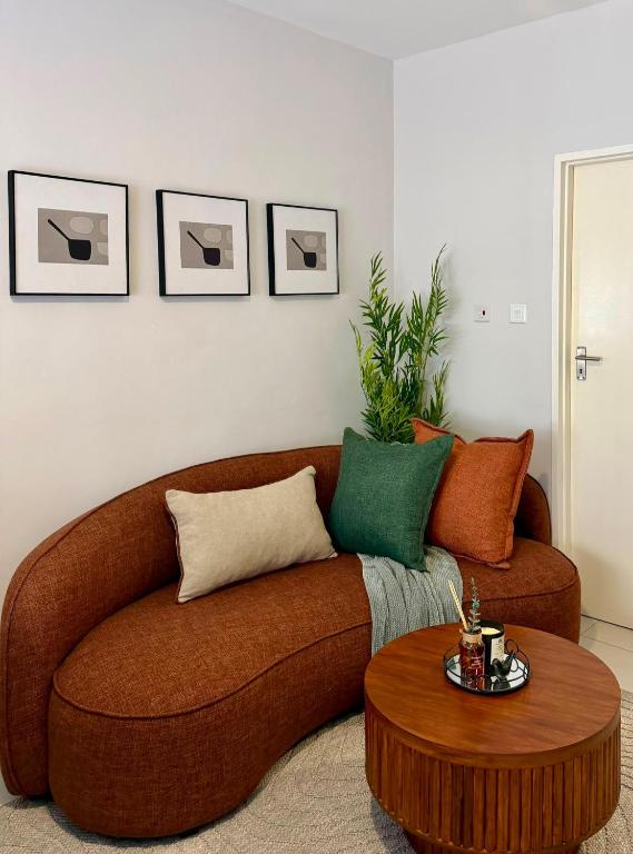
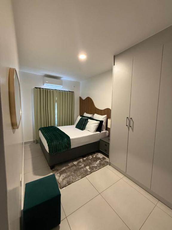
Where to stay in Gaborone
First-night and last-night options in the capital, at the southern end of the corridor.
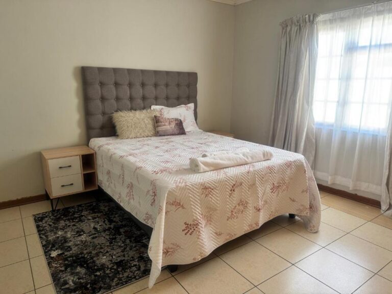
View all 306 Gaborone properties
Every card opens our own property page first. We publish no rates, no availability and no ratings of our own.
Practical notes for the whole corridor
- Fuel — reliable in Gaborone, Mahalapye, Palapye and Francistown, thinner in between. Fill at the towns, not between them.
- Speed — 120 km/h on the open tar, 60 km/h through towns and villages, 40 km/h inside national parks. The village limits are enforced.
- Animals — Botswana Tourism’s standing advice to self-drivers is to watch for wildlife and domestic animals on the roads. Livestock is the routine hazard on the A1.
- Night driving — avoid it. Unlit road, unfenced stock and heavy freight is a poor combination.
- Spares — at least one spare wheel, and the basic parts for a breakdown, before you leave the city.
Plan the rest of your trip
- Self-drive Botswana — the vehicle, season and distance rules that govern everything else.
- Eastern Botswana — what the corridor towns and their surroundings actually offer.
- Accommodation by location — every town archive in one place.
- Itineraries and travel planning.
Sources and references
- Botswana Tourism — self-drive and camping advice, including speed limits, fuel and animals on the road
- Government of Botswana — departmental notices and road transport information
- Botswana Unified Revenue Service — border formalities for vehicles entering at Ramatlabama or Tlokweng
Along the route
The four towns on the A1 between the capital and the second city, and the road that carries on from there.
The junction with the A14 to Serowe, and the largest overnight inventory on the middle of the corridor.
Open →FrancistownWhere the A1 and the A3 divide. The last full-service city before the northern parks.
Open →Eastern BotswanaThe region the corridor runs through, and what is worth leaving the road for.
Open →The A1 is the easy half of the drive.
North of Francistown the distances lengthen, the settlements thin out and the road starts sharing space with elephants. Read the next corridor before you commit to the schedule.
Francistown to KasaneSelf-drive Botswana