
Okavango Delta & Maun
The inland delta, the concession system that surrounds it, and the town you fly through to reach any of it.
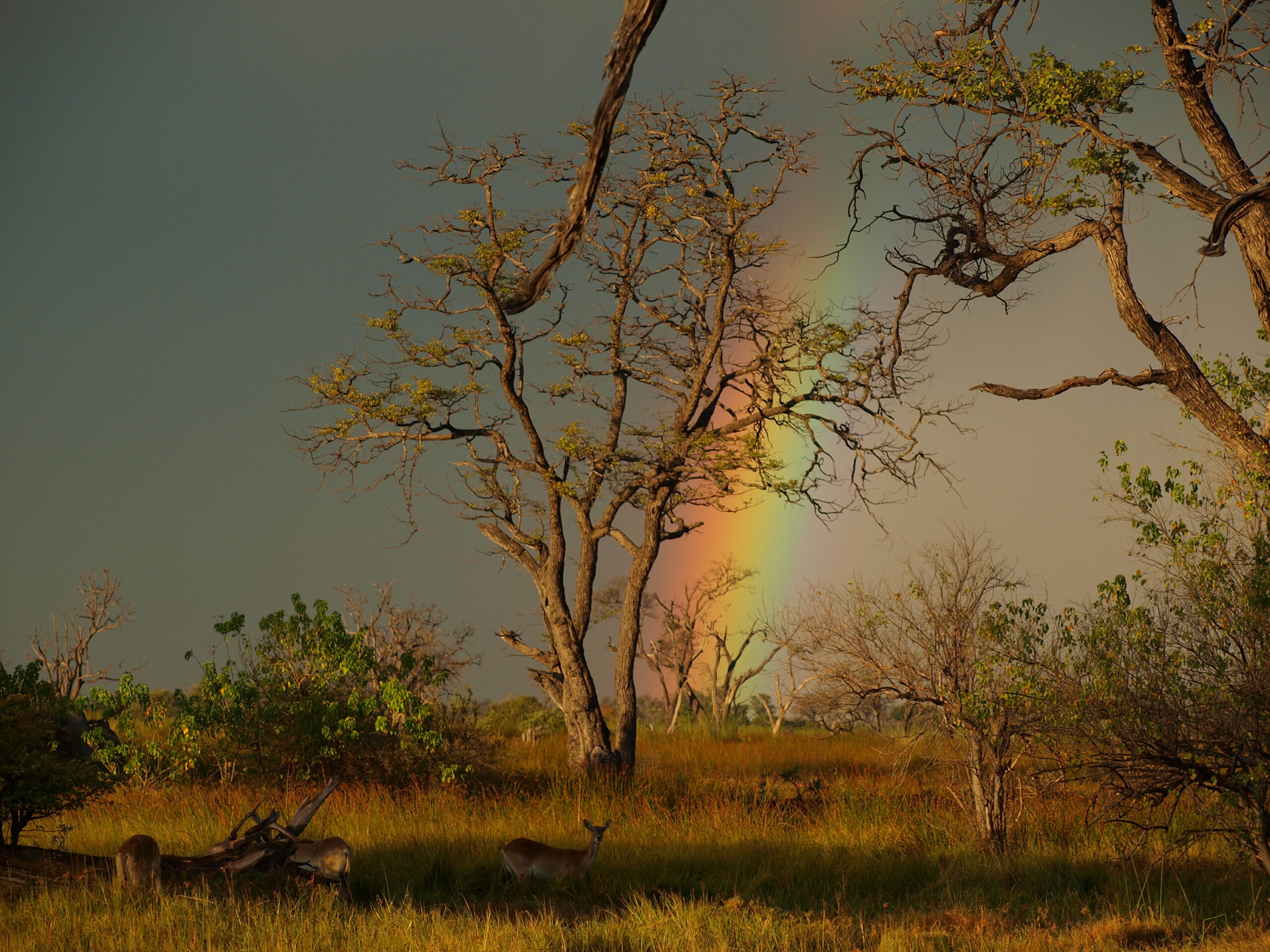
Maun in detailMoremi Game ReserveA rainbow over woodland and grassland at Xakanaxa in the Okavango Delta, Botswana. Photo: Hp.Baumeler, CC BY-SA 4.0, via Wikimedia Commons.
The Okavango Delta is the reason most visitors come to Botswana, and the region that most rewards planning. This Okavango Delta travel guide covers the flood that arrives in the dry season, Maun as the light-aircraft hub, the gap between the public game reserve and the concessions around it, and what a hired 4×4 can and cannot reach.
Why the Okavango is unlike anywhere else
It is not really a delta. It is a low-gradient alluvial fan with no outlet to the sea, spreading across the Kalahari sands until the water evaporates. UNESCO inscribed it in 2014 as a natural World Heritage property of 2,023,590 ha, and it has been a Ramsar wetland since 1996. Roughly 600,000 ha is permanent swamp, ringed by up to 1.2 million ha of seasonal floodplain.
Northern Botswana holds some of the largest remaining populations of African wild dog, an IUCN-listed Endangered species; elephant, lion, leopard, red lechwe and hippo are readily seen. Rhino are different. After heavy poaching from 2018, animals were moved out of the Delta for security and whether free-roaming rhino remain is unresolved — treat older “Big Five” material as dated. See our wildlife pages.
The flood cycle, and why it runs backwards
The water is not local rain. It falls on the Angolan highlands roughly October to April, then travels some 1,500 km to enter Botswana at Mohembo.
- At Mohembo, the panhandle inlet: peak discharge around March and April. Published hydrology gives the peak as April in one study and March/April in another, while Botswana’s Department of Water Affairs reports inlet peaks between March and June.
- In the distal Delta: maximum extent in August and September, a lag of four to five months. Government reporting has water reaching the Boro and Maun by mid-June.
The water is therefore highest in the lower Delta when it has not rained for months, and local rainfall does not generally drive how far it spreads. Flooded area ranges from about 4,000 km² in a weak year to around 12,000 km² in a strong one, and no two floods are alike: camps at the margins can have water one season and none the next. Check current-season conditions before travelling, preferring Department of Water Affairs or Okavango Research Institute data to operator blogs.
Maun — the gateway and light-aircraft hub
Maun (84,993 at the 2022 census) is what Botswana Tourism calls the country’s tourism capital. Airlink and Air Botswana fly in from Johannesburg, and Air Botswana links Gaborone, Francistown and Kasane. From Maun, charter operators fly Cessna Caravan-class aircraft to unsealed strips beside the camps, and multi-camp trips are stitched together by successive hops rather than by road. See our Maun page.
The 12 kg soft-bag limit
Botswana Tourism states baggage limits of 20 kg for domestic and international flights and 12 kg for light aircraft. Operators also require soft-sided bags with no rigid frame or wheels, because of the narrow pod lockers — industry practice rather than a published rule, so confirm the allowance with your operator. Lodges and agents in Maun usually store the rest.
Maun as the gateway
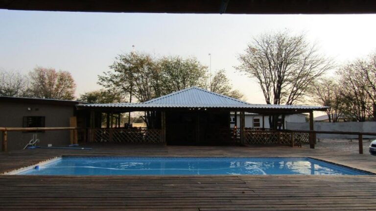
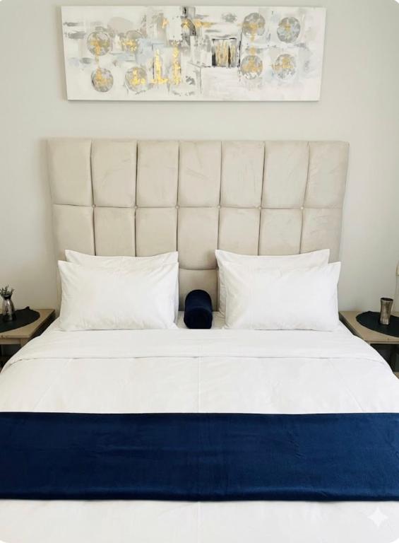
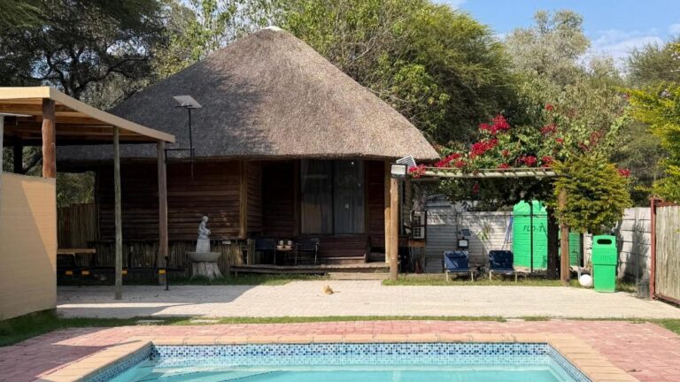
Almost every Delta trip starts or ends with a night in Maun. These are the riverside lodges, campsites and town hotels we have checked.

View all 76 Maun propertiesTours that leave from Maun
Every card opens our own property page first. We publish no rates, no availability and no ratings of our own.
Gateways and towns beyond Maun
The A35 runs 296 km up the panhandle from Sehithwa to the Namibian border. Gumare is the practical fuel stop; Shakawe, near the top, is the base for panhandle lodges and the staging point for Tsodilo. The Mohembo crossing just north has had a bridge since June 2022, so anything still describing a ferry is out of date. Check border hours before travelling — the official table contains stale entries. More on our destinations index.
Parks, reserves and concessions
The Delta is not one park. Roughly 40% of the World Heritage property is Moremi Game Reserve, open to anyone on payment of park fees; the remaining ~60% is Wildlife Management Area divided into leased concession blocks. That distinction explains almost everything else. See our parks and reserves index.
Moremi Game Reserve
Moremi was proclaimed by the Batawana people in 1963, generally described as the first reserve in Africa established by a local community on its own ancestral land, and takes in the Moremi Tongue and Chief’s Island. Sources disagree on its size: Botswana Tourism gives about 3,900 km², other reference works around 5,000 km². Entry is via South Gate (Maqwee), about 92 km from Maun, and North Gate (Khwai), with campsites at Xakanaxa and Third Bridge. As a national reserve it prohibits night drives, walking and off-road driving.
Concessions, and the Khwai distinction
Ngamiland concession blocks carry an “NG” prefix. Operators hold leases under caps on lodges, rooms and beds — the mechanism behind Botswana’s low-density, high-value model. Some blocks are held by community trusts that sub-lease to an operator. Night drives, walking and off-road tracking are generally permitted, but access is only as a booked guest, and lease assignments turn over, so verify who runs a camp when you book.
NG19, the Khwai Community Concession, is the exception that matters: run by the Khwai Development Trust, bordering Moremi, permitting night drives and walking safaris, with community campsites and tented camps — and self-drivable. NG18, the Khwai Private Reserve, is a separate former hunting concession of around 200,000 ha, camp-based and guided, roughly 30 minutes by air from Maun.
The panhandle and Tsodilo Hills
The road base for this end of the Delta is Shakawe — see accommodation in Shakawe, and Gumare halfway up the western road.
The panhandle, where the river enters Botswana before fanning out, is permanently wet: fishing and boat-based birding country, and the realistic place to look for sitatunga, a papyrus-dwelling antelope rather than a floodplain one.
Inland from Shakawe, Tsodilo is Botswana’s other UNESCO World Heritage property — cultural, 4,800 ha inside a 70,400 ha buffer. UNESCO records over 4,500 rock paintings and evidence of human activity over at least 100,000 years; some tourism material gives a rounder 4,000, and sources differ on the inscription year, UNESCO giving 2001 and other accounts 2002. The hills are sacred to local San and Hambukushu communities and are state-managed with community representation.
Shakawe, at the top of the panhandle, is the practical base for all of this — the Mohembo Bridge, the fishing and birding water, and the day trip to Tsodilo.
Activities
- Mokoro — the traditional dugout, now usually fibreglass, poled through shallow channels. The signature experience, and water-dependent: availability follows the flood at your location, not the calendar. Our mokoro guide covers where you can actually do one, and whether to take a day trip or an overnight.
- Motorboat trips and boat-based birding on permanent channels, lagoons and the panhandle, where fishing is seasonal and regulated.
- Game drives — by day only in Moremi, day and night in concessions and Khwai; walking safaris only outside the reserve.
- Scenic flights by light aircraft or helicopter.
- Birding, best in the green season; carmine bee-eater colonies broadly September–November.
Book Okavango experiences
Mokoro days on the channels, Moremi game drives and the multi-day camping safaris that start from Maun. Prices and availability live on the operator’s own page, not ours.

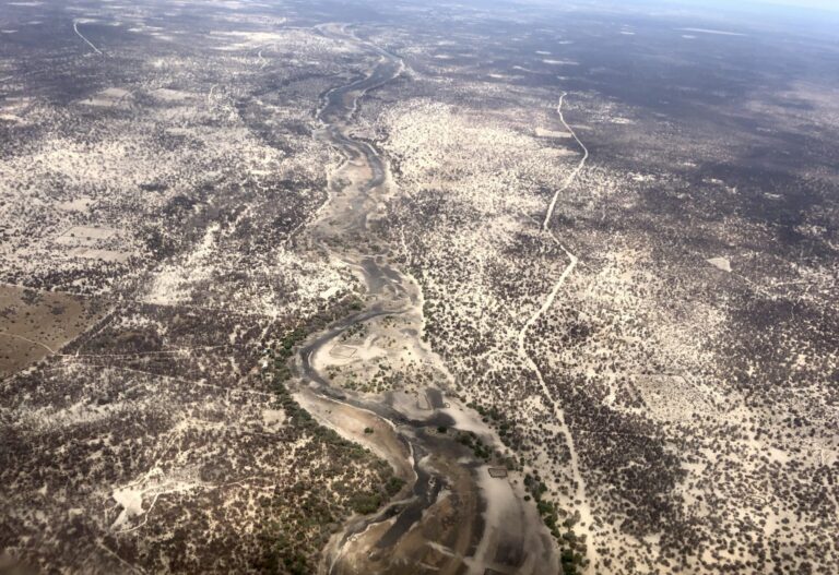
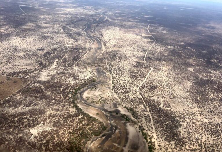
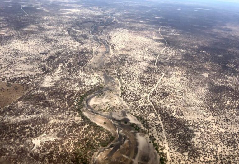
View all 90 Maun and Okavango ToursBrowse every Botswana tour
Every card opens our own tour page first. Booking happens on the operator’s site, where the live price and availability are.
Access — getting there and getting around
Most international travellers route via Johannesburg straight into Maun, bypassing Gaborone. By road, Francistown–Maun is about 480 km of tar via Nata and Maun–Kasane about 600 km, also via Nata; the short direct line to Chobe through Moremi and Savuti is a demanding 4×4 track, not a road. Fuel is reliable in Maun and Nata and absent inside parks; Botswana Tourism advises carrying at least 100 litres of fuel and 20 litres of water per person. Treat the region as offline once you leave the tar.
On park fees we describe the structure, not amounts. Entry is per person per day, banded by residency, with parks split into two categories — Moremi and Chobe in the higher one — and a lower tariff for clients of registered tour operators. Vehicle fees are separate and daily, banded by weight, registration and private or commercial use; camping is separate again, per person per night.
There is no single reservations body: the wildlife department collects entry fees while many campsites are run by concessionaires and booked directly. An increase proposed for April 2026 was postponed, so confirm fees and payment methods with the Department of Wildlife and National Parks before travelling.
Self-drive: what is and is not driveable
- Driveable: Moremi in a properly equipped 4×4 — Botswana Tourism itself describes it as suited to self-drive campers — plus Khwai (NG19) and onward north to Chobe.
- Not driveable: the water-based heart of the Delta, and the private and community concessions, which you enter only as a booked guest.
One widely read planning guide states that the Delta is fly-in only and self-driving is not an option. That holds for the water Delta and the concessions but is overstated as a blanket claim: Moremi is publicly accessible and self-drive to Khwai is commonplace. Sources conflict; we flag it rather than pick a side.
In Moremi, 4×4 is required, vehicles must be under five tonnes for the reserve’s bridges, and the Third Bridge–Xakanaxa route crosses First, Second and Third Bridges. Third Bridge is damaged in the rains with some regularity, and the reserve may close for a week or two in heavy rain. Moremi reopened on 13 April 2026 with Third Bridge closed until further notice, Khwai–Xakanaxa inaccessible and Khwai–South Gate for experienced off-road travellers only.
Two mechanisms close roads here — rain roughly December to March, and the flood roughly May to August. Route and gate status is perishable: check it immediately before travelling, build in buffer days, book campsites far ahead and carry pula in cash. More on our self-drive pages.
Accommodation context
By kind: tented camps and safari camps for the concessions and the Moremi edge, safari lodges where activities are included, and campsites for self-drive parties.
Five categories exist and barely overlap. Fly-in concession camps are small, all-inclusive and guided, with beds capped by lease conditions. Lodges and guesthouses around Maun, many on the Thamalakane, serve as arrival nights and day-trip bases; the wider Okavango Delta archive adds the camps, the Panhandle and Shakawe. Public campsites inside Moremi are rustic and booked separately from park entry. Community campsites and tented camps at Khwai and panhandle fishing lodges sit in between, and mobile safaris are often the best-value guided route into Moremi. See our accommodation overview.
Where to stay in the Okavango Delta
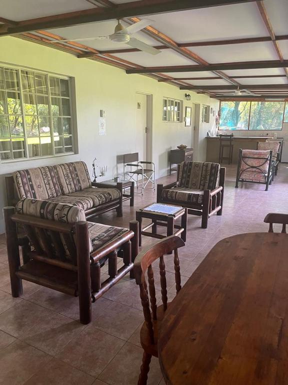
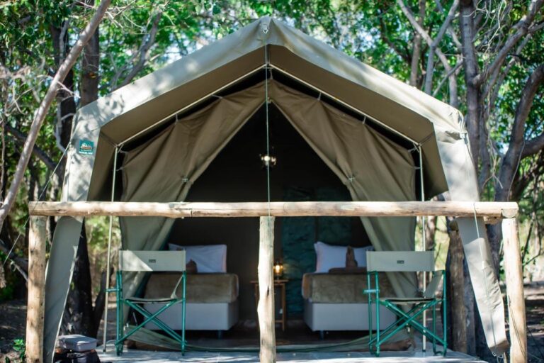
Water camps and island lodges inside the concessions, reached by light aircraft or mokoro. Each card opens our own property page, where the setting, the access route and the booking link live.


View all 7 Okavango Delta propertiesStay in Maun instead
Every card opens our own property page first. We publish no rates, no availability and no ratings of our own.
Best time to visit the Okavango Delta
- June to September — the classic window: the flood peaks in the lower Delta as the land dries, so water is high and game concentrated. Maun minima of 9–12 °C make dawn cold.
- October — hottest, averaging around 36 °C in Maun, and for that reason the most concentrated game viewing of the year.
- November to March — green season: thunderstorms, synchronised antelope births, migrant birds, lower rates. Game viewing is harder and road closures bite.
- April and May — underrated: drying land, arriving flood, fewer people.
Because mokoro depends on water at your location rather than on the month, treat this as a pattern rather than a promise, and check conditions for your dates.
Related planning pages in this Okavango Delta travel guide
- Travel planning — entry requirements, money and health.
- Itineraries — combining the Delta with Chobe and the Kalahari.
- Moremi Game Reserve and the parks and reserves index, plus the day trip or multi-day decision.
- Maun, accommodation in Maun and the destinations index.
- Self-drive, camping in Botswana, accommodation and wildlife.
Sources & references
Primary and official sources used for this page. We link them for evidence, not as the way to plan your trip — the planning links above are ours.
- UNESCO — Okavango Delta and Tsodilo
- Ramsar — Okavango Delta System
- Wolski & Murray-Hudson, Hydrology and Earth System Sciences
- Botswana Department of Water Affairs — Okavango flow partitioning
- Botswana Tourism — Moremi, Maun, Tsodilo Hills
- Botswana Tourism — entry formalities and baggage limits
- Botswana Tourism — self-drive and camping
- Government of Botswana — park and campsite bookings
- Wildlife Conservation and National Parks Act, 1992
- ATTA — Moremi reopens with restricted access, April 2026
- Botswana Daily News — Mohembo bridge opens
Continue in this region
300 km of tar between two national parks, and where the fuel actually is.
Open →MaunThe tourism capital, light-aircraft hub and road head for Moremi and the pans.
Open →Moremi Game ReserveThe reserve on the Delta’s eastern edge, and the difference between its drivable and its water-bound halves.
Open →The Okavango flood cycleWhere the water comes from, the four-to-five-month lag, and why forecasting it is genuinely uncertain.
Open →The Delta is a system, not a destination.
Where the water is in any given month decides which half of this region you can actually reach.
Maun in detailThe flood cycleView all accommodation in the Okavango Delta — every property we have published there, each with our own write-up before any booking route.