
The Kalahari
Sand country covering most of Botswana: the Central Kalahari, Khutse, Mabuasehube and the Kgalagadi Transfrontier Park. Demanding, self-sufficient travel.
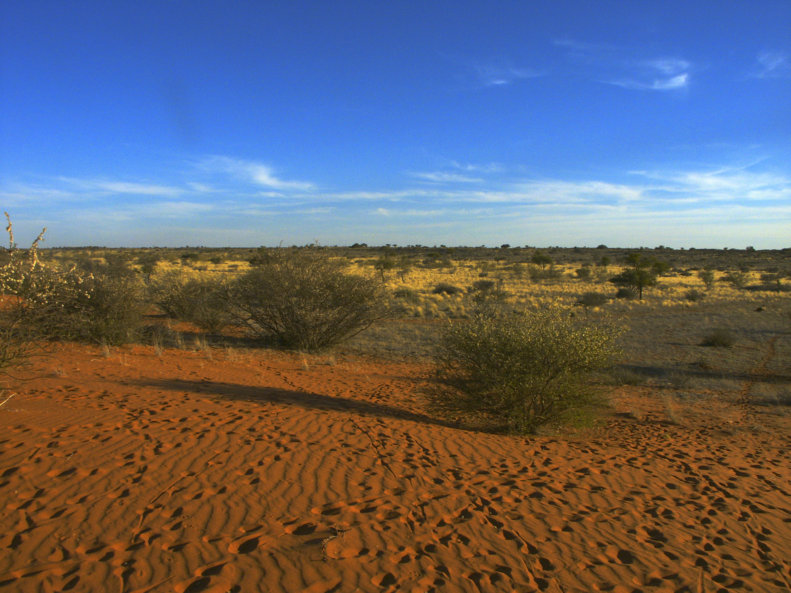
4×4 and vehicle requirementsSelf-drive BotswanaRed sand and low scrub in the Kalahari. Photo: Winfried Bruenken (Amrum), CC BY-SA 2.5, via Wikimedia Commons.
The Kalahari is not a desert in the sand-sea sense. It is a vast semi-arid sand basin across central and western Botswana, carrying grass, acacia and camelthorn, fossil river valleys and pans that fill only in good years. It holds Botswana’s largest protected areas and emptiest roads — and runs on a seasonal calendar that reverses the one governing Chobe and the Okavango.
Why the Kalahari runs on the opposite calendar
Northern Botswana is a dry-season destination: game concentrates on permanent water from roughly June to October. Here it is the other way round. Botswana Tourism Organisation states plainly that the Central Kalahari Game Reserve is at its best during and shortly after good summer rains — broadly December to April, precisely when Chobe and the Delta are at their worst.
The mechanism is simple: there is no permanent water to concentrate animals in the dry months, so nothing gathers. Rain brings grass to the pans and fossil valleys, and springbok, gemsbok, wildebeest and hartebeest move in to graze and calve, with predators following. A single trip covering both northern Botswana and the Kalahari cannot fully resolve that tension — see our itineraries for the usual compromises.
Central Kalahari Game Reserve
The CKGR was established in 1961 and covers 52,800 km² — BTO calls it the largest and most remotely situated reserve in southern Africa and the second largest wildlife reserve in the world. It has been on Botswana’s UNESCO Tentative List since 2010: intent to nominate, not an inscription, so it is not a World Heritage Site. We cover the reserve in full — gates, Deception Valley, seasons and what to drive — on Central Kalahari Game Reserve.
There are three gates: Matswere in the east, reached from Rakops, with Xade and Tsau on the far side, approached from Ghanzi. Public campsites sit near the gates and in the interior — Deception, Kori, Leopard, Phokoje, Xade, Bape and Xaka among them.
Deception Valley
Deception Valley is the feature BTO singles out: a fossil river valley whose pale grasses draw grazers after rain, and the classic base for a first visit. It also shows the seasonality plainly — the valley that carries herds in February can look bare in September. Rakops is the last fuel and supply point; inside the reserve there is no fuel, water or supplies.
Khutse Game Reserve
Khutse covers about 2,500 km² on the southern edge of the Central Kalahari, contiguous with the CKGR. Its significance is proximity: roughly 240 km south-west of Gaborone, approached via Molepolole, it is the Kalahari reserve reachable from the capital in a day, and the realistic option for a trip anchored on Gaborone rather than Maun. Our full write-up is on Khutse Game Reserve.
It holds most Kalahari habitats — rolling grassland, dry riverbeds, fossil dunes, grassed and bare pans — with springbok, gemsbok, giraffe, lion, leopard and cheetah. There is one main entrance, and marked routes run from a 24 km northern loop, through a 64 km route to Moreswa Pan, to a round trip of about 120 km. Public campsites sit inside, a lodge a short way beyond the gate. Deep sand means 4×4 throughout — operators are unanimous, though BTO’s page does not state it.
Kgalagadi Transfrontier Park and Mabuasehube
In the extreme south-west, the Kgalagadi Transfrontier Park was Africa’s first “Peace Park”, joining Botswana’s Gemsbok National Park to South Africa’s Kalahari Gemsbok National Park. Roughly three-quarters lies in Botswana. It is run as one ecological unit with no fence on the boundary and shared gate receipts, and you may enter in one country and leave in the other.
Sizes and dates disagree: BTO gives 37,000 km², other references 38,000 km², SANParks “over 3.6 million hectares”; the launch is dated May 2000 by most accounts but May 2002 by BTO.
BTO divides the park into three zones: the Nossob River valley, the Botswana wilderness trails, and the former Mabuasehube Game Reserve — the easternmost section, roughly 1,800 km² and about 30 by 60 km, with 17 campsites across seven pans. The Mabuasehube Wilderness Trail runs about 155 km, with a compulsory overnight stop and no trailers.
Two rules matter more here than anywhere else. You cannot enter Mabuasehube without a confirmed campsite booking — there is no alternative accommodation within reach. And immigration formalities are handled at Twee Rivieren / Two Rivers, with a minimum stay required before you may exit via Mata Mata. Botswana-side entry is usually described as via the Mabuasehube and Kaa gates, though that detail is thinly sourced.
The convoy rule: an unresolved contradiction
This is a safety-relevant question our sources do not agree on, so we flag it rather than resolve it.
- BTO states that self-drive campers in the Kgalagadi Transfrontier Park must travel in convoys of a minimum of two properly equipped 4×4 vehicles. SANParks similarly says all routes within Botswana are to be travelled by no fewer than two vehicles.
- A specialist self-drive source contradicts this, holding that single vehicles are fine for ordinary self-drive camping in Mabuasehube, and that the two-vehicle minimum applies only to the pre-booked Wilderness Trails.
We cannot tell you which is correct. Getting it wrong means either being turned away at a gate after a very long drive, or being alone and unrecoverable in one of the emptiest places in southern Africa. Confirm the current rule with the Department of Wildlife and National Parks before travelling, and treat a second vehicle as the prudent default either way. Our self-drive section covers convoy practice and recovery.
Ghanzi and the Trans-Kalahari Highway
BTO promotes Ghanzi explicitly as the “Gateway to the Kalahari” and a convenient stopover on the Trans-Kalahari route. The district is Botswana’s cattle-farming hub, with over 200 farms; the town offers game ranches, excursions towards the Central Kalahari and guided desert walks, and the Kuru Traditional Dance and Music Festival is held at nearby D’Kar.
The A2, the Trans-Kalahari Highway, runs some 762 km from the Mamuno border with Namibia to Pioneer Gate on the South African side, via Ghanzi, Jwaneng, Kanye and Lobatse — the main Pretoria–Windhoek corridor and the reason Ghanzi sees traffic at all. It is tar, but condition varies and potholes have been flagged as a hazard. Ghanzi also connects to Maun on the A3, about 325 km. Our full write-up of the town — the cattle district, the San walks and the western approach to the CKGR — is on Ghanzi.
Other approaches: Rakops for Matswere and the eastern CKGR; Molepolole for Khutse; Tsabong for the eastern Kgalagadi and the McCarthy’s Rest border; Werda as a fuel stop on a long, thinly served road south. Fuel is reliable in Ghanzi, Molepolole, Kanye, Letlhakane and Tsabong, intermittent or absent at Rakops and Werda, and non-existent inside every reserve. See destinations.
Wildlife of the Kalahari
- Cheetah. One of the species’ global strongholds. IUCN lists cheetah as Vulnerable, with roughly 3,526 mature individuals in southern Africa and the Kalahari Xeric Savanna its most important ecoregion. Around three-quarters of estimated resident range lies outside protected areas, which is why farmland conservation around Ghanzi matters as much as the reserves. No reliable Botswana-only figure exists; be sceptical of sites quoting one.
- Brown hyena. A southern African endemic and the rarest hyena, with the Kalahari and Makgadikgadi its realistic Botswana range. Sightings are nocturnal and opportunistic, and no credible national figure is published.
- Lion. The black-maned Kalahari lion is the signature predator, in the CKGR, Khutse and the Kgalagadi.
- Plains game and birds. Springbok, gemsbok, wildebeest, hartebeest, eland and giraffe gather after rain; arid-zone birds include kori bustard, with green-season raptor viewing often exceptional. More in our wildlife section.
San and Basarwa guided walks
Walks led by San guides — BTO uses the term “Basarwa (San)” — are offered in the Central Kalahari and around Ghanzi, and are among the most substantive experiences here: tracking, plant use, water and food sourcing, and the working ecology of a landscape that looks empty until someone who knows it explains it.
Terminology varies and is contested; the people concerned are not a uniform group and preferences differ. These are working guides sharing professional expertise, not an exhibit — the honest framing is a specialist walk with a specialist. Ask how an operator engages the community it works with and how revenue is shared, and always ask before photographing people.
Self-drive and total self-sufficiency
Here Botswana’s remote-travel advice stops being cautionary and becomes load-bearing. There is no fuel, water, food or mechanical help inside the reserves, and long distances between settlements outside them. Coverage is town- and highway-based; assume no signal in the CKGR, Khutse and the Kgalagadi. BTO’s desert-travel guidance is specific and worth following literally:
- Carry at least 100 litres of fuel, in long-range tanks and/or metal jerry cans.
- Carry at least 20 litres of water per person, and between 50 and 100 litres for desert destinations.
- Carry spare vehicle parts, including at least one spare wheel.
- Expect rough terrain and heavy sand, accessible only by four-wheel drive.
Inside protected areas the speed limit is 40 km/h and you must stay on established tracks. Medical insurance including evacuation cover is essential rather than optional out here.
Accommodation and booking
By kind: guest farms and lodges outside the reserves, a small set of safari camps, and campsites for the self-sufficient.
Accommodation splits cleanly. Inside the reserves it is public camping — unfenced, mostly unserviced, facilities ranging from basic ablutions to a pit latrine and nothing else. Outside are private lodges and concession camps, including fly-in operations serving the CKGR, plus lodges and guest farms around Ghanzi, the halfway stop at Kang and Khutse; accommodation covers how these differ.
Booking is underestimated. There is no single national reservation body: DWNP collects entry fees, while campsites are split between DWNP and private concessionaires booked directly, whose concessions are periodically re-tendered — verify who holds a site now. Peak sites are commonly booked a year ahead, and in Mabuasehube the booking is a precondition of entry.
The fee structure is stable even as amounts change: entry per person per day banded by residency, lower for tour-operator clients; a separate daily vehicle fee banded by weight, registration and use; camping per person per night, higher for wilderness sites. The Kalahari reserves sit in the lower park category. We do not publish amounts — the schedule has been under review, a 2026 increase was postponed, and we cannot verify what is in force. Confirm with DWNP; cash pula has historically been needed at gates.
Best time to visit the Kalahari
- December–April. The prime window on BTO’s own assessment: grass on the pans and valleys, herds and calves, active predators, dramatic skies. The costs are heat, thunderstorms and tracks that turn difficult after rain.
- May and October–November. Transitional: May pleasant with residual grazing, October and November very hot and dry before the first storms.
- June–August. Dry, stable travelling and superb night skies, but sparse game and real cold: far-southern minima run around 2–3 °C in June and July, with maxima only in the low twenties and ground frost. Travellers consistently underpack for it. Choose this window for landscape and solitude, not wildlife density.
Green-season tracks are also the worst of the year, so build in spare days.
Planning the rest of your trip
The Kalahari rewards being planned as its own trip rather than a bolt-on. For entry requirements, driving paperwork, money and health, see travel planning; for the framework behind these reserves, parks and reserves.
Where to stay in the Kalahari
Private reserve lodges, a Central Kalahari camp, and the Trans-Kalahari stops at Ghanzi.
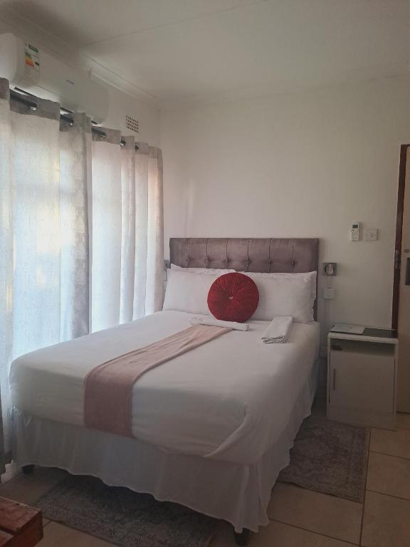
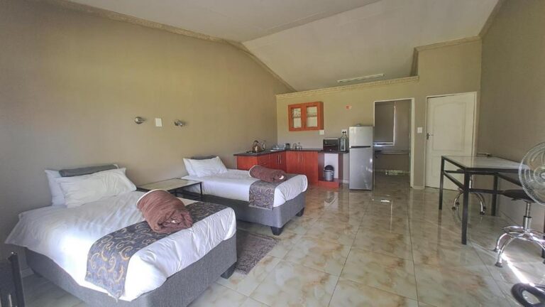
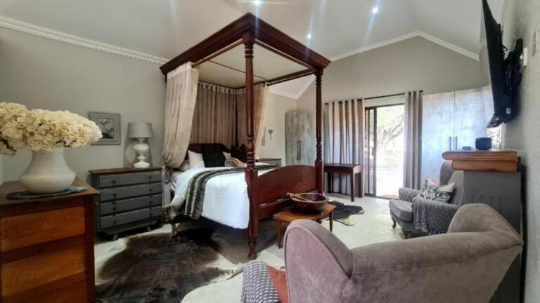
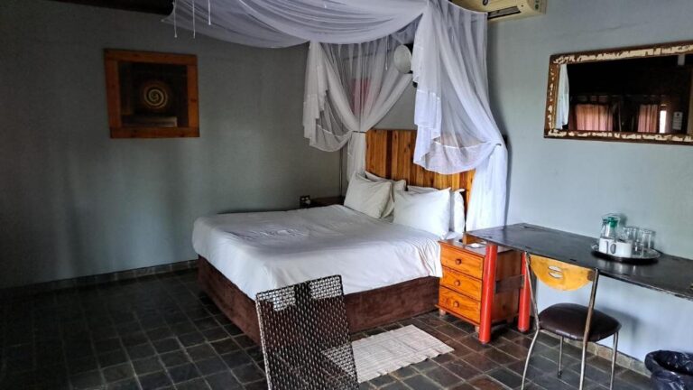
View all 20 Ghanzi and the Kalahari propertiesAll Ghanzi and Kalahari accommodation
Every card opens our own property page first. We publish no rates, no availability and no ratings of our own.
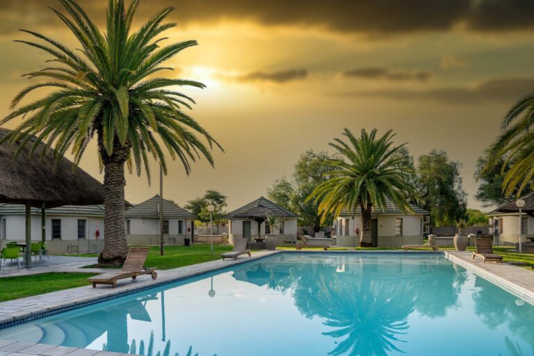
Breaking the Trans-Kalahari at Ghanzi
If you are driving between Windhoek and Maun, these are the practical overnight stops.
Sources and references
- Botswana Tourism Organisation — Central Kalahari Game Reserve
- Botswana Tourism Organisation — Khutse Game Reserve
- Botswana Tourism Organisation — Kgalagadi Transfrontier Park
- Botswana Tourism Organisation — Ghanzi
- Botswana Tourism Organisation — Self-drive camping guidance
- Botswana Tourism Organisation — Climate
- SANParks — Kgalagadi Transfrontier Park border crossings and route rules
- Government of Botswana — National park, game reserve and campsite bookings (DWNP)
- UNESCO World Heritage Centre — Botswana, including the Tentative List
- IUCN Red List — cheetah assessment
- Weise et al., PeerJ — free-ranging cheetah in southern Africa
Plan the rest of your trip
Almost nobody arrives in the Kalahari by accident. These are the pages that decide whether it is for you.
The western way in: the Mamuno border, the Trans-Kalahari and the stop at Ghanzi.
Open →4×4 and vehicle requirementsWhat “properly equipped” means where there is no fuel and no water.
Open →ItinerariesRoute shapes that make the distances work.
Open →Wildlife & seasonsGreen-season game in the Central Kalahari, and the black-maned lions.
Open →The Kalahari is a commitment, not a detour.
Read the vehicle and self-sufficiency pages before you read the camp list.
Self-drive BotswanaAll destinationsView all accommodation in Ghanzi and the Kalahari — every property we have published there, each with our own write-up before any booking route.