
Driving Maun to Nata
Three hundred kilometres of tar between the Okavango and the salt pans, with two national parks either side of the road and only one town in the middle that reliably has fuel.
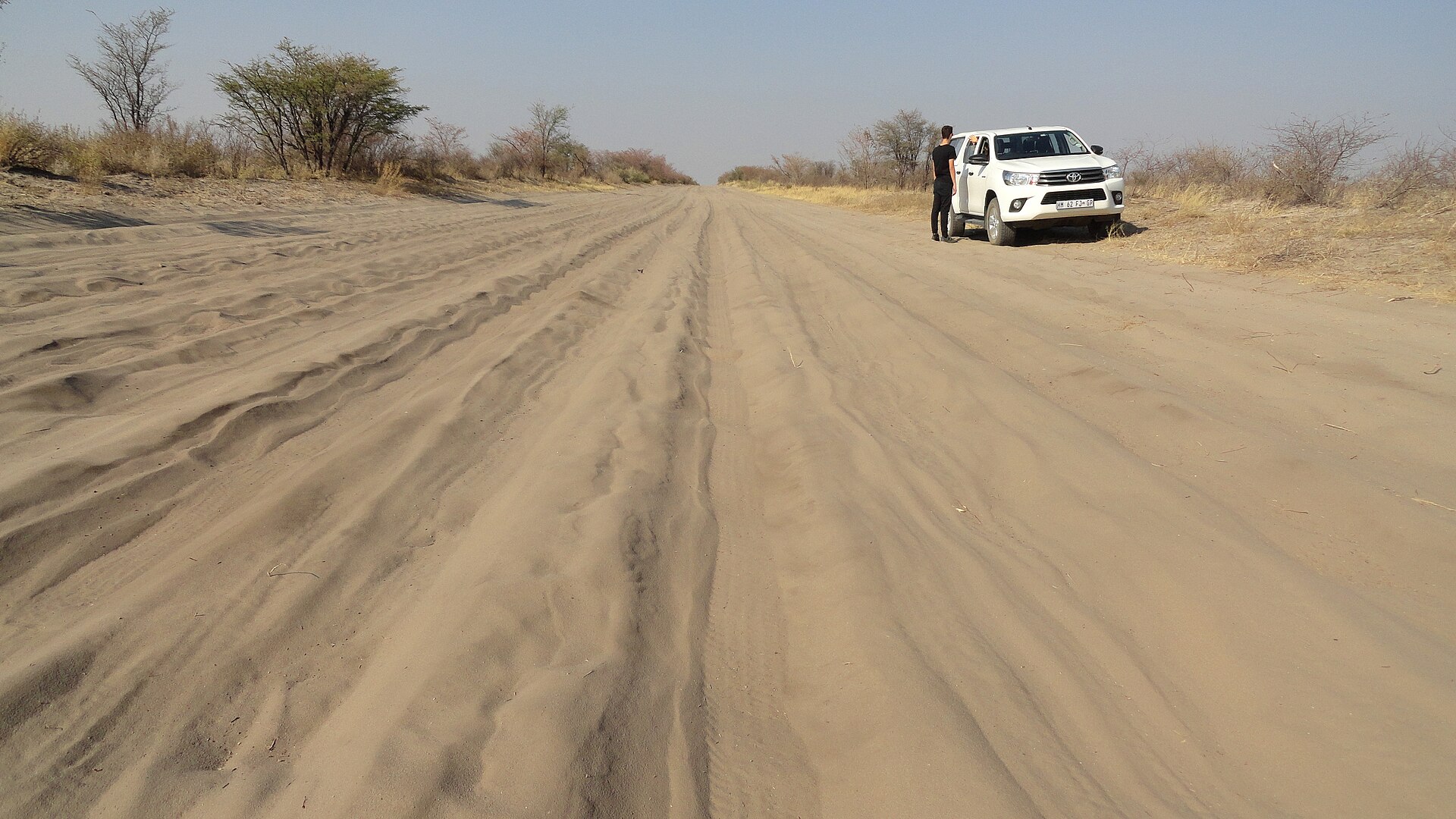
Makgadikgadi and Nata accommodationSelf-drive BotswanaThe road to Baines Baobabs in Nxai Pan National Park, 50 km off the Nata–Maun road. Photo: Fabio Achilli, CC BY 2.0, via Wikimedia Commons.
The leg in one paragraph
Maun to Nata is about 300 kilometres on the A3, all tar, running east across the top of the Makgadikgadi. It is the hinge between the two halves of a northern Botswana trip: the Okavango behind you, the pans and the Chobe road ahead. Most people drive it as a transfer and see nothing. It is one of the few legs in the country where stopping is worth more than arriving early.
What is actually on this road
The A3 here runs between two national parks that face each other across it. Makgadikgadi Pans National Park lies to the south — 3,900 km² by Botswana Tourism’s figure, taking in the western end of Ntwetwe Pan. Nxai Pan National Park lies to the north, 2,100 km², and Botswana Tourism puts its gate 50 km off the main road with the approach tarred. The two parks adjoin, separated by the Nata–Maun road itself.
That is the point of this drive. You can leave Maun after breakfast, turn off for Nxai Pan, and be at a Nata bed the same evening — something that is not true of most Botswana legs.
The wider Makgadikgadi complex is roughly 12,000 km², of which the national park is a small western slice. The pans you see from the road are not the park.
Fuel, and why it decides the day
Maun is the last full-service town going east. Gweta and Nata are the practical filling points on the A3 — and between Maun and Gweta there is a long stretch with nothing reliable. Fill in Maun before you leave, top up at Gweta, and treat Nata as the resupply rather than the first opportunity.
Botswana Tourism’s standing advice to self-drivers is to carry serious long-range fuel capacity as a matter of course. On a tarred 300 km leg that sounds excessive; it stops sounding excessive the moment you add a 50 km each-way detour to a park gate and a few hours of driving inside it.
How long it really takes
- Straight through, no stops — about 300 km of tar. Four hours is realistic once village speed limits, livestock and a fuel stop are counted, against the three the 120 km/h limit suggests.
- With the Nxai Pan turn-off — add 100 km of driving for the round trip to the gate, plus however long you spend inside on 4×4 tracks. This is a full day, not a detour.
- Continuing past Nata — Nata to Kasane is a further 300 km on the A33, and Nata to Francistown about 180 km on the A3. Neither is a leg to start in the late afternoon.
The speed limit is 120 km/h on the open tar, 60 km/h through towns and villages and 40 km/h inside national parks, and driving is on the left.
The decision at Nata
Nata is a junction village and that is its entire function on a travel map: the A3 continues east to Francistown, and the A33 turns north for Kazungula, Kasane and the Chobe. Almost everyone who stops has come to the end of one leg and is choosing the next.
If you reach Nata after mid-afternoon, stop. The two onward legs are 180 km and 300 km respectively, and the northern one is the stretch where elephants routinely cross the road. Nata also has the Nata Bird Sanctuary on the edge of Sowa Pan, which is a reason to stay rather than a consolation for having to.
Where to stay in Nata
Every Nata property we have checked, at the junction of the Maun, Francistown and Kasane roads.
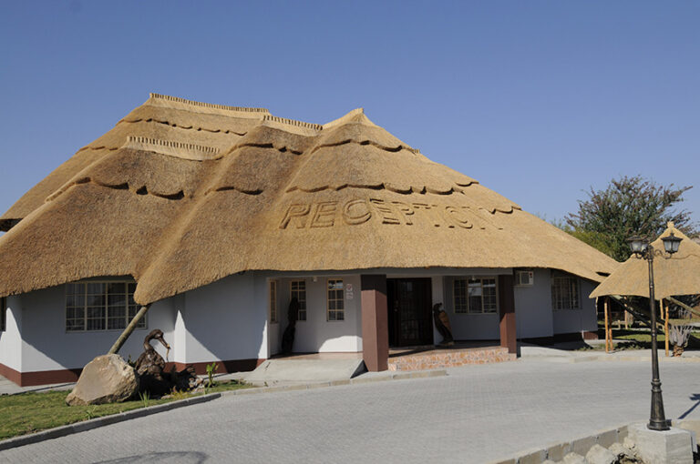
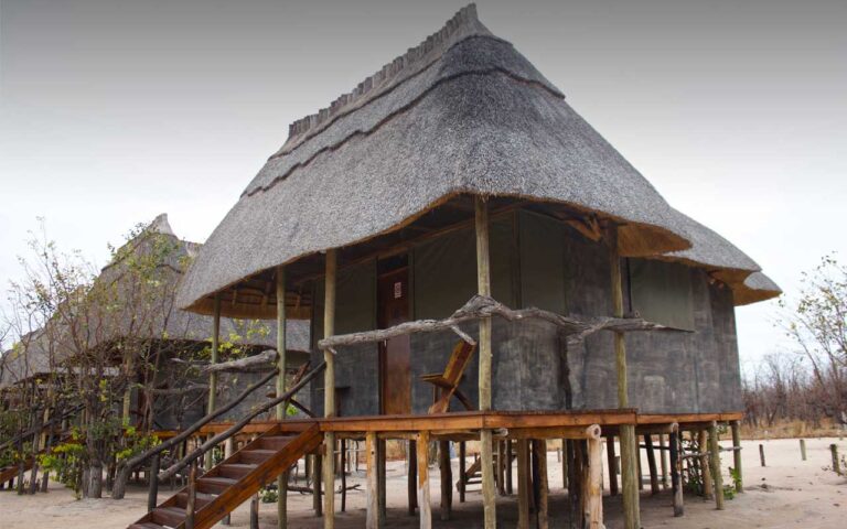
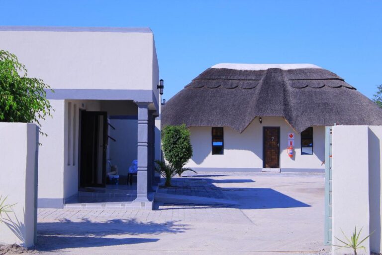
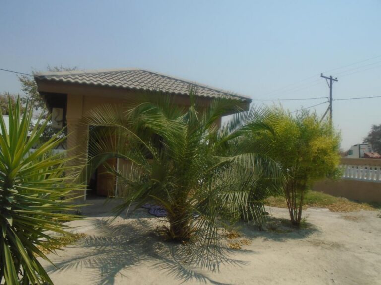
Every card opens our own property page first. We publish no rates, no availability and no ratings of our own.
Going all the way to Kasane? This is leg one of the tar route. The alternative crosses Moremi and Savuti instead: Maun to Kasane, tar or 4×4.
Doing it in the other direction
Nata to Maun is the same road and the same fuel logic in reverse, with one difference: you arrive in a town with a full range of services rather than leaving one. If you are heading for the Okavango, that matters — Maun is where the provisioning, the hire yards and the charter flights are.
Arriving in Maun late is also less punishing than arriving in Nata late, because the town is bigger and the bed stock is deeper.
Where to stay in Maun
The Okavango gateway at the western end of this leg.
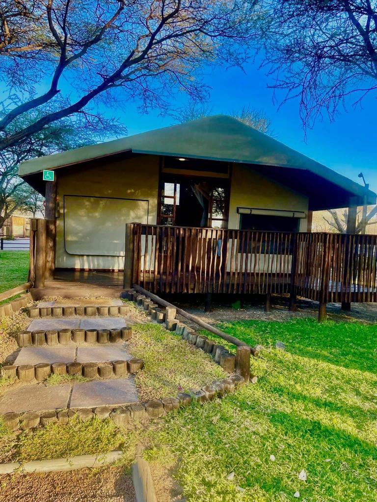
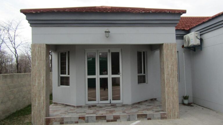
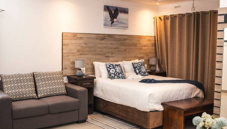
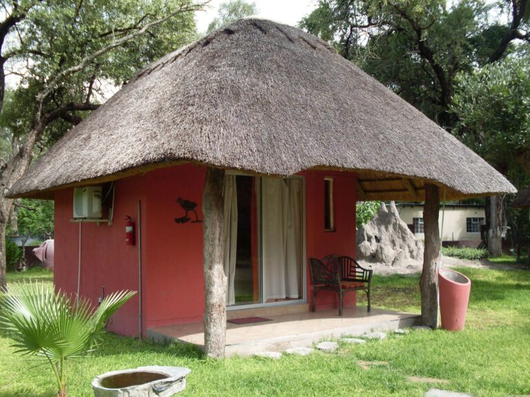
Every card opens our own property page first. We publish no rates, no availability and no ratings of our own.
When to drive it
The parks either side of this road run on a wet-season calendar that most Botswana itineraries get wrong. Nxai Pan and the Makgadikgadi grasslands are at their best when the rains have come and the grazing has pulled game onto the pans — roughly December to April — which is the opposite of the Chobe riverfront season. If your trip is built around the Chobe in the dry months, treat this leg as a transfer. If it is built around the pans, this is the destination.
Practical notes
- Tar the whole way. An ordinary car does Maun to Nata. The 4×4 requirement starts at the park gates, not on this road — see 4×4 and vehicle requirements.
- Livestock and wildlife. Botswana Tourism’s advice to watch for wildlife and domestic animals applies here as everywhere. Do not drive it after dark.
- Park fees are separate from anything you pay for a bed, charged per person per day with a separate daily vehicle fee. The structure is on each park page.
- Gweta is the one useful interruption between Maun and Nata: fuel, and the access point for a good deal of the pan country.
- No reliable mobile coverage off the tar. Botswana Tourism describes coverage as reaching major towns and parts of the highway only.
Plan the rest of your trip
- Maun travel guide and Nata travel guide — the towns at each end.
- Francistown to Kasane — the other half of the A3, and the A33 north from Nata.
- Makgadikgadi and the salt pans — the region this road crosses.
- Accommodation in Maun, accommodation in Nata, or every town archive.
- Self-drive Botswana and itineraries.
Sources and references
- Botswana Tourism — Nxai Pan National Park, for the 2,100 km² area and the 50 km distance off the road
- Botswana Tourism — Makgadikgadi Pans National Park, for the 3,900 km² area and the shared boundary
- Botswana Tourism — self-drive and camping advice, for speed limits, fuel and animals on the road
The road between two parks.
Three hundred kilometres, two national parks facing each other across the tar, and one fuel stop that matters. Give it a day rather than a morning.
Nata accommodationNxai Pan National Park