
Makgadikgadi Pans National Park
Salt pan, grassland and the Boteti — a park that runs on the wet season, on the opposite calendar to the north.
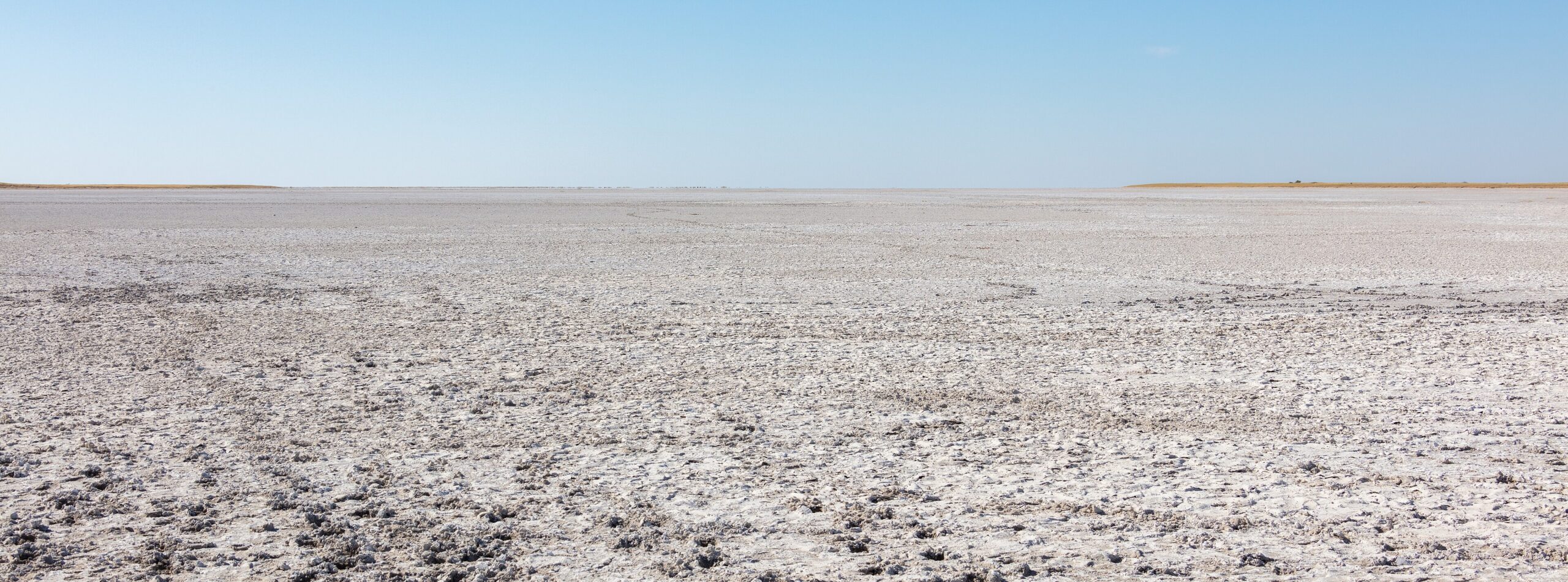
Makgadikgadi regionAll parks and reservesThe white salt-pan surface of Makgadikgadi Pans National Park stretching to the horizon, Botswana. Photo: Diego Delso, CC BY-SA 4.0, via Wikimedia Commons.
Makgadikgadi is not one pan and not one protected area. It is a complex of salt pans, grassland and fossil river country in north-central Botswana, and Makgadikgadi Pans National Park covers only its western edge. Understanding that distinction is most of what you need before planning a trip here, because the pans people photograph and the park people drive are not always the same place.
- Where
- North-central Botswana, west of the A3 between Nata and Maun
- Area
- 3,900 km² (Botswana Tourism Organisation)
- Wider pan system
- About 12,000 km²
- Adjoins
- Nxai Pan National Park, across the Nata–Maun road
- Best for
- Wet-season grassland game, the Boteti in the dry season
- Vehicle
- 4×4 essential inside the park
Where Makgadikgadi Pans National Park is and what it covers
The park sits west of the tar road that runs between Nata and Maun, and takes in the western end of Ntwetwe Pan along with the grassland and woodland behind it. Botswana Tourism Organisation gives its area as 3,900 km² and describes its northern boundary as adjoining Nxai Pan National Park, the two separated by the Nata–Maun road itself.
That figure is worth holding lightly. Official Botswana material refers to this protected area both as Makgadikgadi Pans National Park and as Makgadikgadi Pans Game Reserve, and published areas vary between sources. The national list of protected areas records it as a national park. We use the national park name and cite the tourism authority’s area figure, and we would rather tell you the sources disagree than pick a number and present it as settled.
Makgadikgadi Pans National Park is a fraction of the pan system
The Makgadikgadi complex as a whole covers roughly 12,000 km² — the Botswana Tourism Organisation reaches for Portugal as a comparison — and Makgadikgadi Pans National Park is a small western slice of it. The two largest pans are Sowa in the east and Ntwetwe in the west, with smaller pans including Kudiakam, Nxai and Kaucaca. Most of the imagery that sells Makgadikgadi — the mirror-flat white crust, the quad bikes, the sleep-outs — comes from concession land and community areas around the pans rather than from inside the national park.
Where the water comes from
The pans are fed from two directions. From the east, the Nata, Tutume, Semowane and Mosetse rivers drain into Sowa. From the west, water reaches the system from the Okavango by way of the Boteti River.
In a good wet season the pans hold water and become, in the tourism authority’s phrase, vast powder-blue lakes; for most of the year the same ground is waterless and extremely arid. The filling is not a simple function of this year’s rain, either: the tourism authority describes the pans as flooding in years of good rain and in the years that follow, which is why two visits in consecutive Februaries can look nothing alike.
Whether the Boteti flows in any given year is the single biggest variable for the western edge of Makgadikgadi Pans National Park, and it is not reliably predictable. The same Okavango water that reaches the Boteti is governed by the flood cycle we describe in detail on the Okavango flood cycle.
Wildlife and the migration
The grasslands of Makgadikgadi Pans National Park hold zebra, wildebeest, gemsbok, eland, red hartebeest, kudu, bushbuck, duiker, giraffe, springbok and steenbok, with elephant present and predators following the herds. Brown hyena occur here and are seen rarely.
The movement that defines Makgadikgadi Pans National Park is seasonal. In the wet season great herds of zebra and wildebeest move west towards the Boteti, and that is when grassland game viewing peaks. In the dry season the logic reverses and animals concentrate on whatever water the Boteti holds. This is the practical reason Makgadikgadi runs on a different calendar from Chobe, and why a single set of “best months for Botswana” is misleading — something we take apart properly in when to visit Botswana.
Flamingos, Sowa and the Nata Sanctuary
The flamingos are real, and they are not in the national park.
Sowa is the eastern of the two great pans, and it is Sowa — with the adjacent Nata Sanctuary — that produces the flamingo concentrations Botswana is photographed for. Botswana Tourism puts the numbers in the tens and sometimes hundreds of thousands. The birds follow the water: they come when the pan floods and they go when it dries.
That is the catch. The tourism authority’s own phrasing is that the pans fill in years of good rain and in the years that follow, which means a flamingo trip is not a season you can book a year out. It is a condition. In a poor rainfall year the pan may hold nothing, and no amount of planning changes it.
Sowa and the Nata Sanctuary sit east of Makgadikgadi Pans National Park, on the opposite side of the pan system from the Boteti. They are a separate leg of a trip, not a morning out from a camp on the park’s western edge.
When to visit Makgadikgadi Pans National Park
Botswana Tourism describes the country’s rain as falling almost entirely in summer, peaking in January and February, with winter accounting for less than ten per cent of the annual total. For Makgadikgadi that means the grassland spectacle belongs to the wet months and the Boteti concentrations to the dry ones. Neither is the “right” season; they are different trips.
Summer here is genuinely hot. National figures put shade temperatures at 38 °C and above, occasionally reaching 44 °C. Winter days are warm but nights are cold, and frost is common inland.
Getting there and what you need to drive
Access to Makgadikgadi Pans National Park is from the A3 between Nata and Maun. The tar itself is a saloon-car road; everything inside Makgadikgadi Pans National Park is not. Park interiors in Botswana are sand, and Makgadikgadi is no exception — deep sand on the approaches and, in the wet season, black-cotton mud that turns tracks into a different problem entirely. The requirement is a properly equipped 4×4 with high clearance and low range, and the reasoning is set out on our 4×4 and vehicle requirements page.
Do not drive onto the open pan surface unguided. The crust looks solid and is not uniformly so, and recovery is a long way away. Guided pan excursions run from the concessions for exactly this reason.
There is no fuel inside the park. The settlements that ring the pans sit on different approaches — Nata and Gweta on the A3 in the north, Rakops and Mopipi on the western Boteti side, Mmatshumo to the south — so plan range village to village along the route you are actually driving, not camp to camp.
Which side you approach from
Makgadikgadi Pans National Park has more than one front door, and which one you use decides most of the trip.
From the north-east, the A3 runs from Nata to Maun along the top of the pans. Nata is the junction town, Gweta sits further west along the same tar, and this is the approach most self-drivers take. It is also the approach to Nxai Pan National Park, whose entrance road leaves the same road.
From the west and south the country is different. Rakops and Mopipi lie on the Boteti side of the pans, and Mmatshumo sits to the south. Those approaches are longer, sandier and far less serviced than the tar, and they are the ones that reach the Boteti’s edge and the southern pan country. Botswana Tourism names Mopipi, Mmatshumo, Nata, Gweta and Rakops as the settlements bordering the pans; they are not interchangeable. Choose the side first, then the camp.
There is no fuel inside Makgadikgadi Pans National Park, and the gap between pumps on the western side is longer than most first-time visitors expect. Fill whenever you pass one, carry water for the vehicle as well as for yourselves, and treat any published distance as a tar-road distance until you have seen the track.
In the wet season the calculation changes again. Black cotton soil on the pan margins holds water and turns to a grease that stops vehicles which would cross the same ground in July without noticing it. The wet months are when the grassland game is at its best and when the ground is at its worst, and that tension is the whole planning problem here.
Activities
Alongside game drives, the pan country supports activities that exist almost nowhere else in Botswana: quad biking on the pan surface, walks with habituated meerkats, and sleep-outs on the crust. Botswana Tourism lists quad biking, meerkat walks, game drives and sundowners on the pans among the region’s activities. Most of these are run by concessions and lodges around the pans rather than inside Makgadikgadi Pans National Park, and what any one operator may offer is governed by the land category it sits on — the distinction we explain under parks and reserves.
Where to stay
Accommodation splits between government campsites, community campsites around the pans, and private camps on concession land. We publish no rates, no availability and no ratings of our own; what we can tell you is what a property is and where it sits. Our catalogue is small and growing region by region — start at accommodation in Botswana.
Guided trips that include the pans
Multi-day safaris we list that run through the Makgadikgadi and the Boteti. Each card opens our own page first.

Every card opens our own tour page first. Booking happens on the operator’s site, where the live price and availability are.
Baines’ Baobabs and Chapman’s Tree
Two baobab landmarks sit in this landscape. Baines’ Baobabs, a group of seven trees roughly 30 km from the Nxai Pan National Park entrance, were painted by the explorer Thomas Baines during his journey of 1861 to 1863. Chapman’s Tree, on the pans, is believed to be three to four thousand years old and served David Livingstone as a landmark. Both figures come from the tourism authority and both are estimates rather than measurements.
The two names belong together: Thomas Baines travelled with the trader and hunter James Chapman between 1861 and 1863, from what is now Namibia to the Victoria Falls, and both men left their names on trees in this landscape. Neither landmark is inside Makgadikgadi Pans National Park, which is a good argument for planning a wider pans loop rather than a single park visit.
The pans are inhabited
Villages ring the pans — Mopipi, Mmatshumo, Nata, Gweta and Rakops among them — and archaeological evidence indicates human occupation of this landscape since the Stone Age. It is worth remembering when the marketing language reaches for emptiness: this is not an unpeopled place, and the communities around the pans hold rights and interests in the land you are driving through.
Properties we have checked around the park
The Boteti riverfront camps on the western boundary, the pan camps to the east, and the A3 stops.
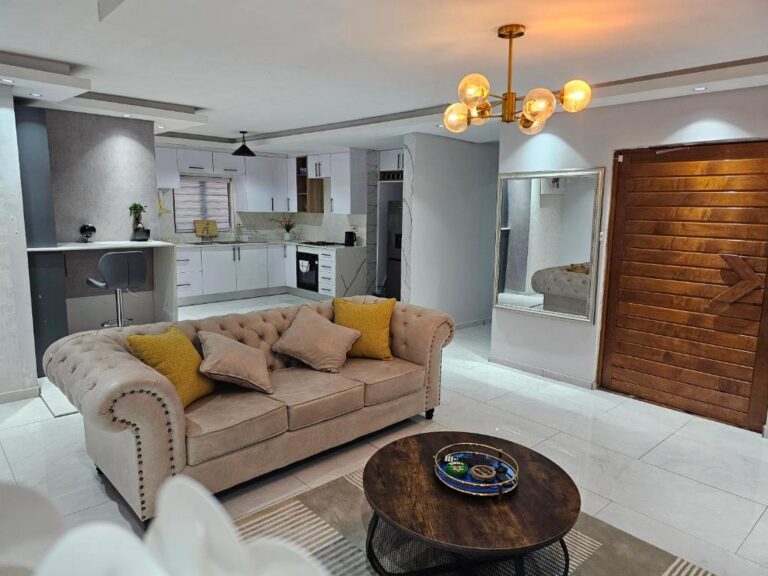
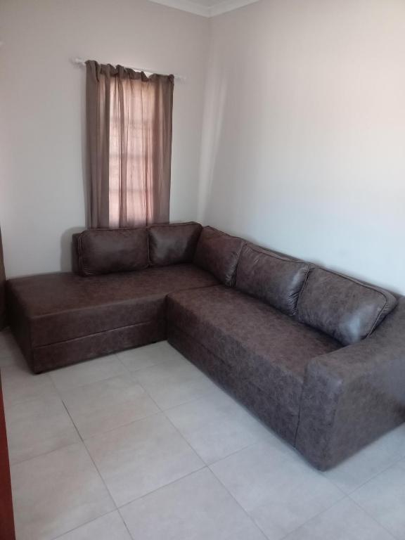
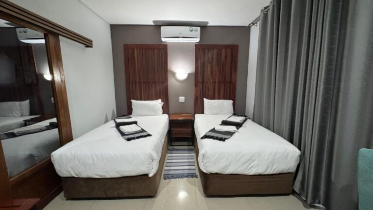
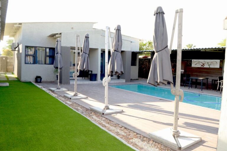
View all 20 Makgadikgadi and Nata propertiesAll Makgadikgadi and Nata accommodation
Every card opens our own property page first. We publish no rates, no availability and no ratings of our own.
The public campsites here are split between operators: camping in Botswana explains which, and how park fees interact with camping fees. Nearest beds outside the park are at Nata and Gweta.
Sources and references
- Botswana Tourism Organisation — Makgadikgadi and Nxai Pans (pan system area, Sowa and Ntwetwe, feeder rivers, flamingos, Chapman’s Tree)
- Botswana Tourism Organisation — Makgadikgadi Pans (area, boundary with Nxai Pan, wildlife, migration, activities, Baines’ Baobabs, villages)
- Botswana Tourism Organisation — Climate (seasons, temperatures, rainfall distribution)
- List of protected areas of Botswana (designation as a national park)
Reviewed August 2026. Park areas, names and access arrangements change; if something here is out of date, tell us.
Plan the rest of your trip
Makgadikgadi Pans National Park rewards planning more than almost anywhere else in Botswana, because the right month is the whole trip.
300 km of tar between two national parks, and where the fuel actually is.
Open →Makgadikgadi & the Salt PansThe region around Makgadikgadi Pans National Park, and the towns on the A3 you actually pass through.
Open →Nxai Pan National ParkThe park immediately north across the Nata–Maun road, on a different calendar again.
Open →4×4 and vehicle requirementsSand, black cotton and what “properly equipped” means before you leave the tar.
Open →Botswana 14 day itineraryWhere the pans sit in a three-region fortnight.
Open →The pans are a season, not a place.
Come in the wrong month and you will see a white crust. Come in the right one and you will see the zebra.
When to visit BotswanaAll parks and reserves