
Botswana 14 Day Itinerary
Three regions and a genuine change of landscape: the Delta, the Chobe river and the salt pans, driven as a loop.
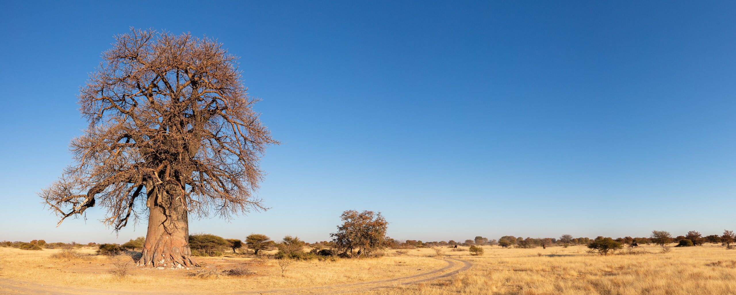
All Botswana itinerariesSelf-drive BotswanaA baobab in dry grassland in Makgadikgadi Pans National Park, Botswana. Photo: Diego Delso, CC BY-SA 4.0, via Wikimedia Commons.
A Botswana 14 day itinerary is the first length at which the country stops being one habitat and starts being several. Ten days gives you the Okavango and the Chobe river. A fortnight adds the salt pans, which look and behave like nowhere else in the itinerary and which sit conveniently on the road home.
This route is a loop rather than a one-way run: north from Maun through Moremi, Khwai and Savuti to Kasane, then south on the A33 to Nata and west along the A3 through the pans back to Maun. It closes on itself, which means one vehicle hire, one drop-off and no repositioning fee.
- Shape
- Three regions, a full loop, Maun in and Maun out
- Nights
- 13 (Maun 1 · Moremi 2 · Khwai 2 · Savuti 1 · Kasane 3 · Nata 1 · Nxai Pan 2 · Gweta 1)
- Key distances
- Kazungula to Nata about 300 km · Nata to Maun about 300 km, both tar
- Vehicle
- 4×4 essential; tar on the southern leg, sand and salt on the northern one
- Best for
- Self-drivers who want landscape variety rather than a single safari
- Not for
- Anyone wanting the Kalahari as well — that needs three weeks
In this guide
- Who this itinerary suits
- The route at a glance
- Day by day
- Why the loop runs clockwise
- When to do this trip
- What to cut if you lose days
- Where this route extends
Who this Botswana 14 day itinerary suits
Fourteen days suits travellers who want to understand the country rather than tick one park. The change from Delta floodplain to Chobe riverfront is significant; the change from either of those to an open salt pan is total. That third contrast is what a fortnight buys, and it is the reason this length is worth the extra week over the 10-day route.
It suits self-drivers particularly well, because the loop closes and the southern half is tar. It suits mixed parties less well than ten days does, since the pans leg is a driving leg by nature and there is no useful flight that replaces it.
What it is not is a rushed 21-day trip. The Kalahari sits well south and west of this loop, and pulling it in at fourteen days means either cutting the Delta to two nights or spending three days driving to reach one campsite. Both are worse trips.
The route at a glance
| Night | Base | Region | Why it is there |
|---|---|---|---|
| 1 | Maun | Hinge | Arrival, vehicle, provisioning |
| 2–3 | Moremi | Okavango | Delta habitat you can drive into |
| 4–5 | Khwai | Okavango | Night drives and walking |
| 6 | Savuti | Chobe | Open predator country; the bridge north |
| 7–9 | Kasane | Chobe | Riverfront drives, boat cruise, recovery |
| 10 | Nata | Makgadikgadi | The junction, and the Sowa Pan birdlife |
| 11–12 | Nxai Pan | Makgadikgadi | Grassland, waterholes and Baines Baobabs |
| 13 | Gweta area | Makgadikgadi | Pan-surface activities before the run home |
| 14 | — | — | A3 west into Maun and depart |
Day by day
Days 1–9 — Maun, the Delta and the river
The first nine nights are the 10-day route run in the same order: a night in Maun to provision, two nights in Moremi around Xakanaxa or Third Bridge, two in Khwai for the night drives and walking the reserve does not permit, one in Savuti, and three on the Chobe riverfront at Kasane. South Gate is about 92 km from Maun and takes a long half-day in a loaded vehicle; Sedudu Gate is about 10 km from Kasane and takes minutes.
The difference at fourteen days is that Kasane is a waypoint rather than an exit. You are not flying out from here, so the three nights are a genuine pause in the middle of the trip rather than a wind-down. Use one of them for a boat cruise and one for a full riverfront morning, and keep the third loose.
Day 10 — Kasane to Nata
The A33 runs about 300 km of tar south from Kazungula to Nata, the junction that almost every northern itinerary passes through. Drive between any two of Francistown, Maun and Kasane and you pass through Nata; drive a northern loop and you pass through it twice.
Most people treat Nata as an hour and a fuel stop. Give it a night instead. Nata Bird Sanctuary covers 250 km² at the top of Sowa Pan and is the reason to stop, particularly when water brings the flamingos. It also breaks a long tar day into something civilised.
Days 11–12 — Nxai Pan National Park
Nxai Pan sits north of the A3 between Nata and Maun. The A3 is tar and so is the 50 km approach to the gate, but 4×4 is essential inside. The park covers 2,100 km² of grassland with acacia islands and artificial waterholes, and unlike much of the pan country it holds animals through the year.
Baines Baobabs, a group of seven trees roughly 30 km from the entrance, were painted by the explorer Thomas Baines during his journey of 1861 to 1863. They are the single most photographed thing in this half of the trip and worth planning a morning around rather than squeezing in on the way out.
Day 13 — Makgadikgadi and the Gweta area
Access to Makgadikgadi Pans National Park is from the A3 between Nata and Maun, with Gweta sitting west along the same tar. The park itself covers 3,900 km², a fraction of a wider pan complex of roughly 12,000 km², and understanding that distinction is most of what you need before planning a trip here: the pans people photograph and the park people drive are not always the same place.
This is also where the pan country offers activities that exist almost nowhere else in Botswana. Botswana Tourism lists quad biking on the pan surface, walks with habituated meerkats, game drives and sundowners on the pans among the region’s activities. One important safety rule: do not drive onto the open pan surface unguided.
Day 14 — Back to Maun
The remaining stretch of the A3 west into Maun is tar and straightforward. Build in more time than the distance suggests: the national speed limit on tar is 120 km/h, but livestock and donkeys on unfenced roads matter more than the limit, and driving at dusk is the risk worth avoiding.
Why the loop runs clockwise
Running north first and returning through the pans puts the hardest driving at the start, when the vehicle is freshly checked and the group is fresh, and puts tar at the end, when neither is true. It also means the pans come after the safari rather than before it, which matters more than it sounds: after nine days of dense wildlife, an empty white horizon reads as a relief rather than a disappointment.
The reverse direction works, and some people prefer it because it front-loads the easy driving. What does not work is trying to do both halves out and back from Maun. That adds roughly 600 km of repeated tar and buys nothing.
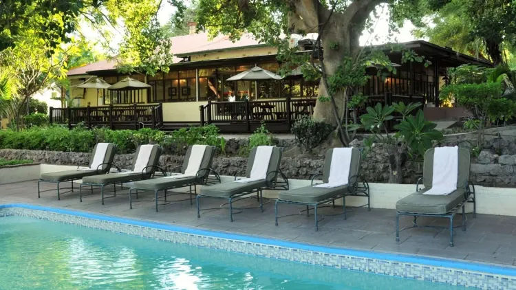
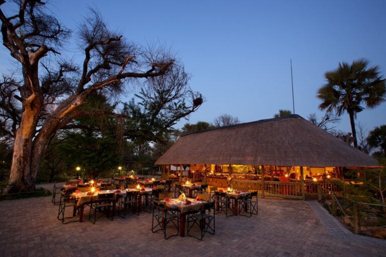
Where you actually sleep: Maun, Kasane and Nata carry most of the nights on this loop — every property we have checked in each, or browse every town archive.
When to do this trip
The dry months are the safe choice for the northern half: June to August in Chobe is dry and effectively rainless, with minima of 9–12 °C that make a dawn drive genuinely cold. The pans are a different calculation. The green season brings water, birds and the Makgadikgadi at its most alive, but it also brings the tracks most likely to close.
Because this route crosses three regions with different seasonal peaks, it rarely optimises for all three at once. Our best time to visit Botswana page sets out the trade-offs region by region, and the Okavango flood cycle explains the timing behind the Delta half.
What to cut if you lose days
Lose one day and drop Savuti, taking the tar or a flight between the two northern regions instead. Lose two and drop the Gweta night as well, running Nxai Pan straight through to Maun. Lose three and this becomes the 10-day route with the pans removed rather than a compressed fortnight.
What to protect: two nights in Moremi, two in Khwai, and two at Nxai Pan. Single nights at any of those are mostly arrival and departure.
Where this route extends
A third week puts the Central Kalahari Game Reserve in range, which is the only length at which the Kalahari fits without wrecking the rest of the trip. That is the 21-day Botswana itinerary.
Sideways, from Kasane, Victoria Falls is 80 km away and the Kazungula crossing is on the doorstep. West of Maun, the A2 Trans-Kalahari Highway runs 762 km from the Namibian border at Mamuno through Ghanzi and on towards South Africa.
The tar leg between Nata and Kasane is the one that catches people out on this route: it is about 300 km on the A33 through the eastern edge of the Chobe ecosystem, and it is not a drive to be finishing in the dark. Our Francistown to Kasane corridor guide sets out the legs and the fuel decision at Nata.
The Maun–Nata leg on this route is 300 km of tar with a national park on each side of it: our Maun to Nata guide sets out the fuel points, the Nxai Pan turn-off and the decision waiting at the junction.
If you are entering or leaving Botswana on the western side rather than from South Africa, the Namibia to Maun via Ghanzi guide covers the Mamuno border, the Trans-Kalahari leg and where to break it.
If the Chobe is on your route, the choice between a river cruise and a game drive is not a coin toss — see Chobe river cruise or game drive for what each shows and why the drive should go first.
Where the loop needs a bed
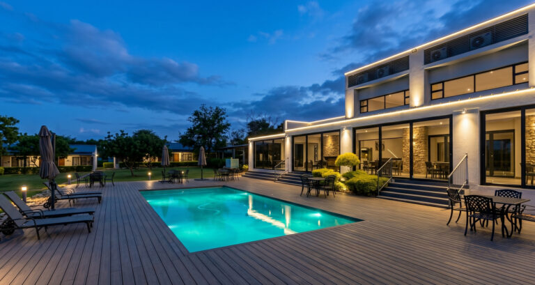
Fourteen days clockwise means an arrival night, a break on the A3 and a night at the Chobe end.
Guided versions of this loop
If you would rather someone else drove it, these multi-day trips cover much of the same ground.

Every card opens our own tour page first. Booking happens on the operator’s site, where the live price and availability are.
Plan the next stage
- Nxai Pan National Park — access, the 50 km approach and Baines Baobabs.
- Makgadikgadi and the salt pans — the region, and what the park is a fraction of.
- Self-drive Botswana — the tar network, honest distances and vehicle demands.
- Botswana entry requirements — documents, borders and vehicle paperwork.
Sources and references
- Botswana Tourism Organisation — Nxai Pan National Park (area, access, Baines Baobabs)
- Botswana Tourism Organisation — Makgadikgadi Pans National Park (area and regional activities)
Reviewed August 2026. Park access, gate times, flood levels and road conditions change; if something here is out of date, tell us.